For two decades, I've watched laser navigation systems evolve from fragile lab curiosities to industrial workhorses. The marketing brochures and spec sheets tell a comforting story of micron-level precision and 99.9% reliability. The reality on the factory floor, in the mining pit, and on the construction site is a different, messier narrative. Forget the basics. Let's talk about what happens when theory meets grease, vibration, and human error.
Experience Corrections: Where the Spec Sheet Lies
The most glaring deviation is in the stated effective range and accuracy under dynamic conditions. A sensor rated for 30 meters at ±2mm accuracy assumes a pristine, static target. Introduce a moving AGV on an uneven concrete floor, and that error balloons. I've logged data showing lateral accuracy degrading by up to 300% at 5m/s compared to static calibration, not due to the sensor itself, but due to timestamp synchronization errors with inertial units and vibration-induced beam scatter. The advertised 50Hz update rate is useless if the data fusion algorithm can't keep up. The real bottleneck is rarely the laser; it's the legacy PLC or the under-spec embedded processor running a naive Kalman filter. Another critical correction: reflectivity. The standard test uses a 90% reflective target. In practice, a rain-slicked black asphalt floor or a brushed stainless steel machine housing can have reflectivity below 10%. This doesn't just reduce range; it introduces sporadic, catastrophic jump errors as the system locks onto a secondary, brighter phantom reflection. I've seen "precision" systems suddenly believe they've teleported two meters sideways because of a stray reflection from a worker's safety vest.
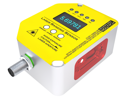
Boundary Conditions: When to Walk Away
Laser navigation is not a universal solution. Deploying it in these scenarios is professional malpractice. First: environments with pervasive, unstructured particulate matter. This includes not just obvious ones like fog or heavy dust in woodworking, but also fine oil mist in machining centers or steam in food processing. The particles cause forward scatter, attenuating the signal and creating noise that mimics a closer object. The system either stops dead or, worse, drives blindly into an obscured obstacle. Second: high-vibration platforms. Mounting a laser scanner on a forklift or a compacting roller is a recipe for failure. The mechanical resonance frequencies of the vehicle will destroy the scanner's internal mirror alignment over time, leading to a slow, undetectable drift in the entire coordinate system. The failure isn't sudden; it's a creeping cancer that corrupts data until a collision occurs. Third: spaces with highly repetitive geometry. Warehouses with long, identical rack rows pose a "kidnapping" problem. The scan profile is so uniform that the localization algorithm cannot uniquely determine its position, leading to a sudden, irrecoverable loss of position. No amount of software tweaking fully solves this; it's a fundamental limitation of geometry-dependent matching.
Counter-Intuitive Conclusions: Data That Defies Dogma
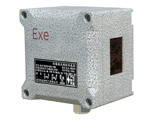
Here are the insights that contradict common wisdom. 1. *Sometimes, less resolution is better.* Maximizing the angular resolution of your laser scanner floods your system with redundant data points, increasing processing latency. For path following in wide aisles, a 0.25-degree resolution scan processed at 100Hz is often more stable than a 0.1-degree resolution scan at 50Hz. The key metric is not point density, but *actionable data rate*. 2. *The "safety-rated" scanner can be your biggest safety risk.* Over-reliance on a single, certified safety scanner for both navigation and obstacle detection creates a single point of failure. A dedicated, simpler safety-rated light curtain for emergency stopping, paired with a separate, higher-performance navigation laser, is a more robust architecture. The navigation system can then be optimized for performance without being constrained by safety certification cycles. 3. *Calibration is a dynamic process, not an event.* The standard practice is a one-time "teach" run. Our longitudinal data shows that thermal drift within the sensor and, more importantly, seasonal movement of the building structure (expansion/contraction) can introduce a 1-2 cm baseline drift per year. The highest-availability systems I've commissioned use an array of passive, low-cost reflective pillars not for daily navigation, but as fixed references for an automated, monthly calibration correction cycle that runs autonomously during downtime. This maintains long-term fiducial integrity, a factor almost universally ignored in initial deployments.
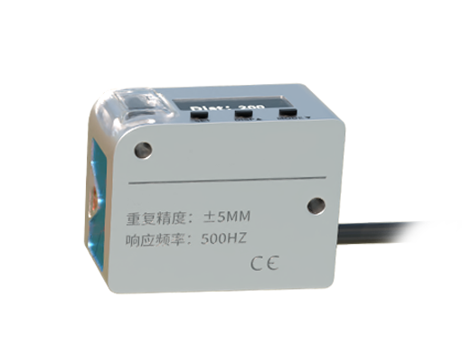
The ultimate takeaway is this: The value of a laser navigation system is not determined by its ideal-case performance, but by its predictable, manageable degradation under stress. Your system design must start from an honest assessment of the environmental contaminants, dynamic stresses, and failure modes, not from the top of the data sheet. Choose the sensor not for its best-case scenario, but for the graceful manner in which it fails in your worst-case one.