In the realm of modern transportation infrastructure and vehicle technology, a quiet revolution is taking place, driven by the precise and unerring eye of laser-based sensing. Road surface laser sensors, often operating unseen, are critical components in enhancing safety, efficiency, and data-driven decision-making. Unlike conventional cameras or radar, these sensors utilize focused beams of light to measure distance and profile with extraordinary accuracy, creating a detailed, three-dimensional map of the pavement beneath.
The core technology behind these sensors is Light Detection and Ranging (LiDAR) or laser triangulation. A typical road surface laser sensor emits a rapid series of laser pulses towards the ground. The time it takes for each pulse to reflect back to the sensor is meticulously measured. Since the speed of light is a known constant, the sensor can calculate the exact distance to the surface point with millimeter precision. By scanning the laser across a path, or using an array of lasers, the system builds a high-resolution profile of the road's geometry. This profile data reveals much more than just the road's presence; it uncovers a wealth of information about its condition.
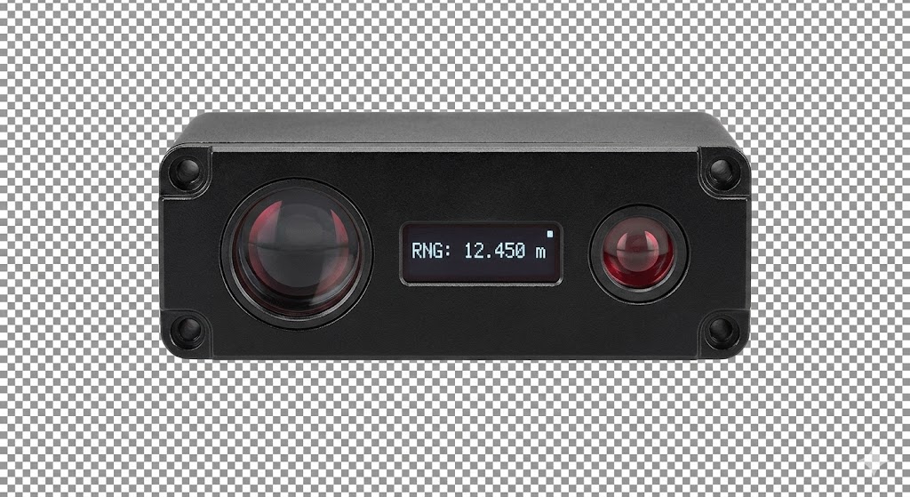
One of the most significant applications is in automated road condition assessment. Municipalities and highway authorities deploy vehicle-mounted laser sensor systems to conduct network-wide surveys. These systems can detect and quantify surface defects such as cracks, potholes, rutting, and raveling. The sensors measure the depth, width, and length of these imperfections objectively, replacing subjective visual inspections. This data is geotagged, creating a precise digital inventory of pavement health. Engineers can then use this information to prioritize maintenance schedules, optimize budgets, and plan rehabilitation projects before minor issues escalate into major, costly failures.
Beyond infrastructure management, road surface laser sensors are integral to the development and operation of autonomous vehicles (AVs). For a self-driving car, understanding the precise texture and topography of the road is as crucial as detecting other vehicles or pedestrians. A sudden pothole or a patch of black ice represents a significant hazard. High-resolution laser scanners, often part of a vehicle's perception suite, can identify these micro-features. They can distinguish between a harmless shadow and a dangerous depression, and detect subtle changes in surface reflectivity that might indicate ice or standing water. This allows the AV's control system to adjust speed, steering, or suspension settings preemptively, ensuring a smoother and safer ride.
In the domain of intelligent transportation systems (ITS), these sensors contribute to traffic flow and safety. Installed at intersections or along highways, they can monitor traffic density, classify vehicles by size and profile, and detect stationary objects or debris on the roadway. Their performance is largely unaffected by lighting conditions—they work equally well in pitch darkness and blinding sunlight—making them more reliable than camera-only systems. This reliability is vital for triggering alerts in traffic management centers or for activating variable message signs to warn drivers of hazards ahead.
The construction industry also leverages this technology for quality control during road building and paving. Laser profilers mounted on paving equipment ensure the asphalt or concrete is laid to the exact specified thickness and smoothness. This real-time feedback allows for immediate adjustments, leading to a higher quality finished product that will require less maintenance over its lifespan.
Despite their advantages, challenges remain. High-performance laser sensors can be expensive, though costs are decreasing. Data processing requires significant computational power to convert billions of point measurements into actionable insights. Furthermore, performance can be degraded in heavy rain, fog, or snow, as particles in the air can scatter the laser beams. However, sensor fusion—combining laser data with inputs from cameras, radar, and inertial measurement units—is mitigating these limitations, creating robust perception systems.
Looking forward, the role of road surface laser sensors will only expand. As cities become smarter and vehicles more autonomous, the demand for precise, real-time environmental data will surge. These sensors will evolve to be smaller, more energy-efficient, and even more accurate. They will form the foundational layer of the "digital twin" of our physical road networks, enabling simulations, predictive analytics, and truly proactive infrastructure management. From preserving our existing roads to guiding the vehicles of the future, the laser's focused light is illuminating the path toward a safer and more efficient transportation ecosystem.