Laser remote sensing, a sophisticated technology for measuring physical properties without direct contact, has revolutionized data collection across numerous fields. At its core, this technology operates by emitting laser pulses toward a target and analyzing the reflected or backscattered light. The fundamental principle involves measuring the time delay between the emitted pulse and its return, known as Light Detection and Ranging (LiDAR), to calculate precise distances. Other techniques analyze changes in the light's wavelength (Doppler LiDAR for velocity) or intensity (for composition analysis). This ability to gather high-resolution, three-dimensional information from vast or inaccessible areas makes it an indispensable tool.
The applications of laser remote sensors are vast and continually expanding. In environmental science, they are pivotal for monitoring deforestation, measuring ice sheet thickness, and tracking atmospheric pollutants. Airborne LiDAR systems can map terrain beneath dense forest canopies, creating accurate digital elevation models crucial for flood prediction and geological studies. In the realm of autonomous vehicles, solid-state LiDAR sensors provide real-time, 360-degree perception, enabling cars to navigate complex environments by detecting obstacles, pedestrians, and road boundaries with centimeter-level accuracy. The construction and surveying industries rely on terrestrial laser scanners for creating as-built models of structures, monitoring structural deformation, and planning renovations with unprecedented precision.
Urban planning leverages this technology for smart city development, using it to model infrastructure, manage assets, and plan for growth. Furthermore, laser remote sensing plays a critical role in archaeology, revealing hidden historical sites through subtle variations in ground elevation, and in agriculture, where it helps assess crop health and optimize yields through precision farming techniques. In atmospheric research, Differential Absorption LiDAR (DIAL) systems can profile the concentration of specific gases, such as ozone, carbon dioxide, or methane, providing vital data for climate change studies.
The advantages of laser remote sensing are compelling. It offers exceptional accuracy and spatial resolution compared to traditional radar or photographic methods. Data can be collected day or night, as active laser illumination does not depend on sunlight. It penetrates certain obstacles like vegetation to some extent, revealing ground surfaces. However, the technology is not without limitations. Performance can degrade in adverse weather conditions such as heavy fog, rain, or snow, which scatter the laser beam. The systems, particularly high-end topographic LiDAR, can be expensive to acquire and operate. Processing the massive point cloud datasets generated requires significant computational power and specialized software expertise.

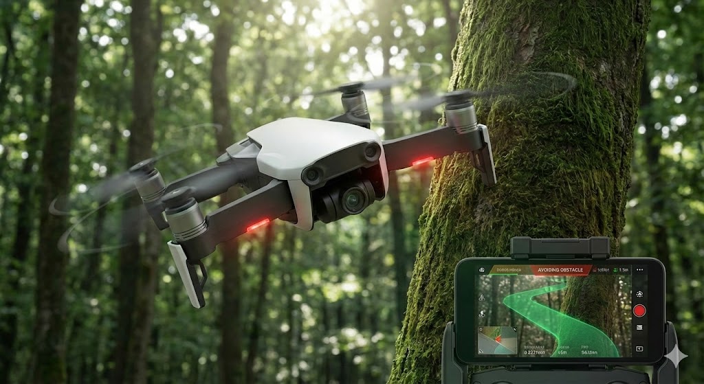
Looking toward the future, trends point toward miniaturization, reduced costs, and enhanced capabilities. The development of solid-state LiDAR, with no moving parts, promises more robust and affordable sensors for widespread consumer and industrial use. Integration with other technologies like artificial intelligence and machine learning is automating data analysis, extracting actionable insights from complex point clouds more efficiently. Researchers are also advancing quantum LiDAR and single-photon sensitive detectors, which could dramatically increase range and sensitivity while using lower-power lasers. Furthermore, the deployment of laser sensing on small satellites and drones is democratizing access, enabling more frequent and targeted monitoring missions.
In conclusion, laser remote sensing has evolved from a specialized research tool into a cornerstone of modern geospatial intelligence. Its unique ability to provide precise, three-dimensional, and quantitative data remotely continues to unlock new possibilities across science, industry, and daily life. As the technology becomes more accessible and intelligent, its role in addressing global challenges—from climate monitoring to enabling autonomous systems—will only become more profound, solidifying its status as a key enabler of a data-driven future.