In modern industrial automation, the precise positioning of robotic systems is paramount. A robot laser sensor positioning map serves as a critical tool for achieving this precision, enabling robots to navigate, interact with their environment, and perform complex tasks with high accuracy. This map is essentially a digital representation of spatial data collected by laser sensors, which emit laser beams to measure distances and detect objects in real-time. By analyzing the time it takes for the laser to reflect back, these sensors generate detailed point clouds that form the basis of the positioning map.
The creation of a robot laser sensor positioning map begins with sensor calibration and environmental scanning. Laser sensors, such as LiDAR (Light Detection and Ranging), are mounted on robots to sweep across workspaces, capturing millions of data points per second. These points correspond to surfaces, obstacles, and features within the environment. Advanced algorithms then process this raw data to filter noise, align scans, and construct a coherent 3D map. This map not only includes static elements like walls and machinery but can also track dynamic objects, allowing robots to adapt to changing conditions.
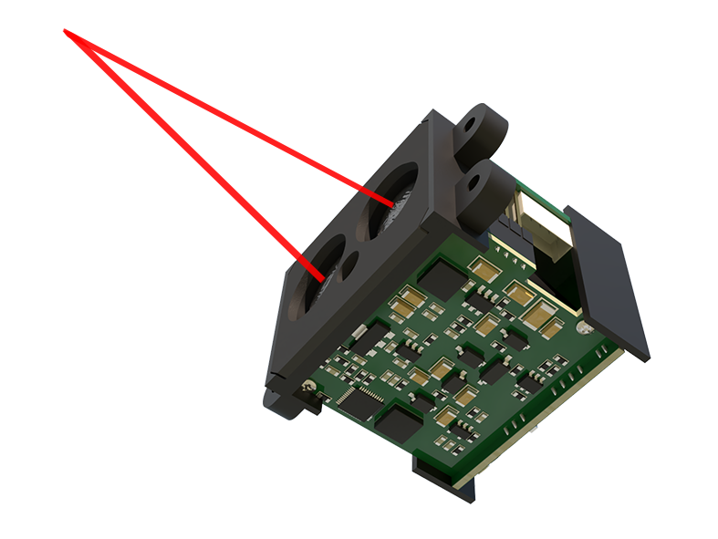
One key application of robot laser sensor positioning maps is in autonomous mobile robots (AMRs) used in warehouses and manufacturing facilities. Here, the map enables robots to localize themselves within a predefined layout, avoiding collisions and optimizing paths for material handling. For instance, in e-commerce fulfillment centers, AMRs rely on these maps to navigate narrow aisles, locate inventory, and transport goods efficiently. The precision offered by laser sensors reduces errors and enhances operational speed, leading to significant cost savings and improved safety.
Another vital use case is in robotic welding and assembly lines, where exact positioning is crucial for quality control. Laser sensors help robots align components with sub-millimeter accuracy, ensuring consistent weld seams and proper part fitting. The positioning map acts as a reference frame, allowing robots to adjust their movements based on real-time feedback. This capability is especially important in industries like automotive and aerospace, where tolerances are extremely tight.
The integration of robot laser sensor positioning maps with other technologies, such as artificial intelligence and the Internet of Things (IoT), further expands their utility. AI algorithms can analyze map data to predict maintenance needs, optimize workflows, or even enable collaborative robots (cobots) to work alongside humans safely. IoT connectivity allows for remote monitoring and updates, ensuring maps remain current as environments evolve. However, challenges persist, including sensor limitations in reflective or transparent surfaces and the computational demands of processing large datasets.
To maximize effectiveness, best practices involve regular map updates to account for environmental changes, such as rearranged equipment or new obstacles. Sensor fusion—combining laser data with inputs from cameras, ultrasonic sensors, or inertial measurement units—can enhance reliability. Additionally, implementing standardized formats for positioning maps facilitates interoperability across different robotic systems and software platforms.
In summary, a robot laser sensor positioning map is a foundational element in modern robotics, driving advancements in automation across diverse sectors. By providing accurate spatial awareness, it empowers robots to perform tasks with unprecedented efficiency and adaptability. As sensor technology continues to evolve, these maps will become even more detailed and integral to the future of intelligent automation, paving the way for smarter factories, logistics, and beyond.