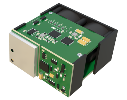
In the rapidly evolving world of precision agriculture, LiDAR (Light Detection and Ranging) sensors have emerged as a transformative technology for orchard management. These sensors, which use laser pulses to create detailed three-dimensional maps, are unlocking new levels of insight into crop health, canopy structure, and yield prediction. However, for many farmers and agribusiness operators considering adoption, the primary question remains: what are the costs involved? Understanding the financial investment is crucial for making an informed decision that aligns with operational goals and budget constraints.
The cost of a LiDAR sensor system for orchard use is not a single figure but a spectrum, influenced by several key factors. At the most basic level, a simple, single-beam LiDAR unit suitable for rudimentary scanning from a ground vehicle might start in the range of $5,000 to $15,000. These systems are often used for tasks like measuring tree trunk diameter or basic terrain mapping. For more sophisticated applications, such as high-density canopy analysis or fruit counting, multi-beam or scanning LiDAR systems are required. These units, which can capture millions of data points per second to create rich point clouds, typically range from $20,000 to $50,000. The price escalates with factors like measurement range, accuracy, scan rate, and resistance to environmental factors like dust and moisture—common challenges in orchard settings.
It is vital to recognize that the sensor itself is only one component of the total cost. A functional orchard LiDAR system involves several integrated elements. The sensor must be mounted on a platform, which could be a tractor, a specialized utility vehicle, or an unmanned aerial system (UAS or drone). Drone-mounted LiDAR systems represent a significant portion of the market, where the combined cost of a commercial-grade drone and a compatible, lightweight LiDAR payload can easily reach $30,000 to $80,000 or more. Furthermore, the raw data from the sensor is useless without software. Investment in data processing software, which can stitch scans together, filter noise, and extract actionable metrics (like canopy volume or leaf area index), adds another $2,000 to $10,000 annually, depending on licensing models. Finally, operator training and the time required for data analysis constitute ongoing operational expenses.
For many operations, the high capital expenditure (CapEx) of purchasing a system outright can be a barrier. This has led to the growth of service-based models, which are a critical part of the cost conversation. Numerous agricultural technology service providers now offer LiDAR scanning as a service. A farmer can hire a contractor to fly a drone equipped with LiDAR over the orchard, with costs typically calculated on a per-acre basis. Service fees can range from $15 to $50 per acre, depending on the scan density, orchard complexity, and data deliverables required. This model eliminates upfront hardware costs, reduces the need for in-house expertise, and provides access to cutting-edge technology without long-term commitment, making it an attractive entry point for many.
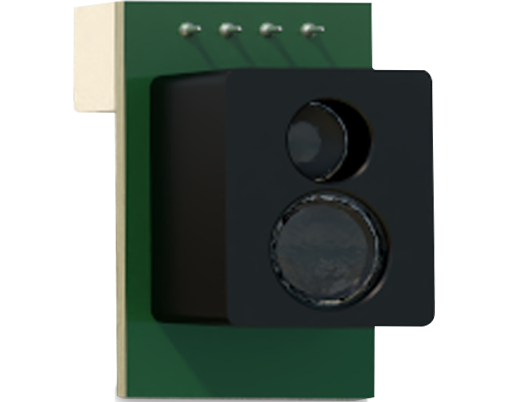
The justification for any cost lies in the return on investment (ROI). When deployed effectively, LiDAR data can lead to substantial savings and increased revenue. Precise canopy maps enable variable rate application of water, fertilizers, and pesticides, reducing input costs by 10-20% or more. Accurate yield prediction models built from LiDAR data improve harvest logistics and marketing. Early detection of stress or disease pockets allows for targeted intervention, preventing wider crop loss. Over several seasons, the efficiency gains and yield protection can significantly offset the initial and ongoing costs of the technology. The ROI timeline varies but often falls within 2 to 4 years for large-scale operations that fully integrate the data into their management practices.
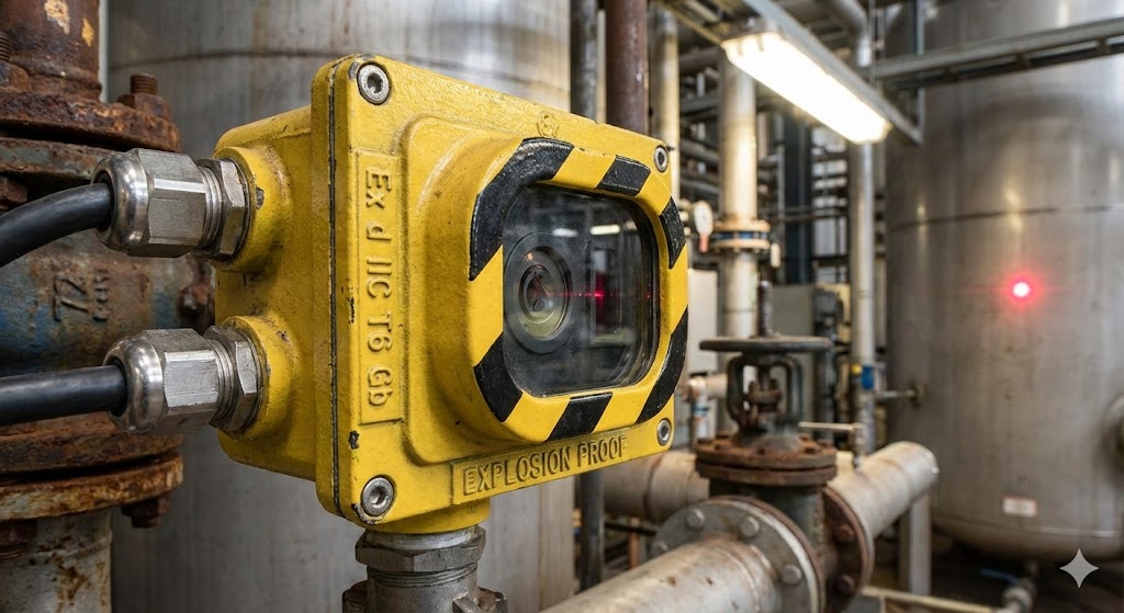
Looking ahead, the cost trajectory for orchard LiDAR technology is generally downward. As the technology matures, components become cheaper, and competition increases among manufacturers, sensor prices are expected to gradually decrease. Simultaneously, data processing is becoming more automated and user-friendly, reducing software and labor costs. The future likely holds more integrated, "smart" systems where LiDAR is one component of a suite of sensors on autonomous orchard platforms. For farmers today, the decision involves weighing current costs against immediate and future benefits, considering both purchase and service models, and planning for how this powerful tool can drive a more profitable, sustainable, and data-driven orchard enterprise.