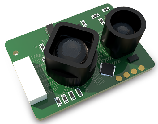
Drone LiDAR (Light Detection and Ranging) sensors represent a transformative leap in geospatial data acquisition, merging the agility of unmanned aerial vehicles with the precision of laser scanning technology. Unlike traditional photogrammetry, which relies on overlapping images, LiDAR actively emits rapid laser pulses toward the ground. By measuring the time it takes for each pulse to return to the sensor, it calculates exact distances, generating dense, accurate point clouds of the environment. This capability functions effectively regardless of lighting conditions and can penetrate gaps in vegetation to model the underlying terrain—a significant advantage for forestry, archaeology, and infrastructure planning.
The core components of a drone LiDAR system include the laser scanner itself, a high-precision GNSS (Global Navigation Satellite System) receiver, and an Inertial Measurement Unit (IMU). The GNSS pinpoints the drone's absolute position in space, while the IMU tracks its orientation (roll, pitch, and yaw) at incredibly high frequencies. During post-processing, this navigation data is fused with the laser range measurements, allowing each point in the cloud to be georeferenced with centimeter-level accuracy. Modern sensors are remarkably compact, lightweight, and energy-efficient, enabling their integration with a wide range of commercial drones.
Applications across industries are vast and growing. In surveying and construction, drone LiDAR facilitates rapid topographic mapping, volumetric calculations for stockpiles, and as-built documentation of structures, dramatically reducing field time and enhancing safety by minimizing human presence in hazardous areas. Environmental scientists employ it for coastal erosion monitoring, flood risk modeling, and detailed canopy height measurement to assess biomass and carbon sequestration. For linear infrastructure like railways, power lines, and pipelines, drones equipped with LiDAR efficiently inspect corridors, identifying encroaching vegetation or ground subsidence that could pose risks.
Deploying a drone LiDAR survey requires careful mission planning. Parameters such as flight altitude, speed, and line spacing (or point density) must be calibrated based on the project's accuracy requirements and the terrain's complexity. While the technology delivers unparalleled detail, successful outcomes depend on proper calibration, controlled flight patterns, and sophisticated data processing software. Professionals must process the raw point cloud to classify points (e.g., ground, vegetation, buildings), filter noise, and create deliverables like digital terrain models (DTMs), contour maps, or 3D reconstructions.
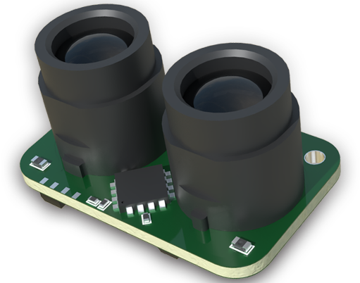
The evolution of drone LiDAR is ongoing. Sensor manufacturers are continuously driving down costs while improving performance—increasing pulse repetition rates, enhancing accuracy, and integrating RGB cameras for colored point clouds. Furthermore, the rise of real-time processing and edge computing promises to deliver actionable insights even faster. As regulations evolve and airspace integration advances, drone LiDAR is poised to become an even more ubiquitous tool, fundamentally changing how we measure, model, and manage our physical world. It is not merely an alternative to traditional methods but a paradigm shift towards safer, faster, and more data-rich understanding of landscapes and assets.