Water depth measurement is a critical task in various fields, including hydrographic surveying, environmental monitoring, navigation safety, and underwater construction. Traditional methods, such as sounding lines, acoustic echo sounders, and pressure-based sensors, have been widely used for decades. However, the advent of laser sensor technology offers a revolutionary approach with distinct advantages in accuracy, speed, and application scope. This article explores the principles, types, applications, and benefits of using laser sensors for measuring water depth.
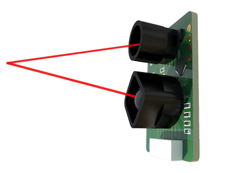
The fundamental principle behind laser-based water depth measurement is Light Detection and Ranging (LiDAR), specifically using a green laser wavelength. Green light, typically around 532 nanometers, penetrates water more effectively than other wavelengths in the visible spectrum. An airborne or boat-mounted laser sensor emits short, pulsed laser beams towards the water surface. A portion of the light reflects immediately from the water surface, while the remaining energy travels through the water column. If the beam encounters the seabed or riverbed, it reflects back to the sensor. The system's highly sensitive receiver detects both the surface return and the bottom return. By precisely measuring the time difference between these two returns and knowing the speed of light in air and the speed of light in water (which requires correction based on water properties), the sensor calculates the water depth with high precision. This method is often referred to as bathymetric LiDAR.
There are two primary types of bathymetric LiDAR systems. Topographic-bathymetric LiDAR systems use dual wavelengths: an infrared laser (which reflects only from the water surface) and a green laser (which penetrates the water). This combination allows for simultaneous mapping of the adjacent coastline and the submerged topography. Pure bathymetric LiDAR systems are optimized for deeper water penetration, often using higher-powered green lasers. The maximum achievable depth depends on laser power, water clarity, and bottom reflectivity. In optimal conditions (clear coastal waters), these systems can measure depths down to 50 meters or more.
The applications of laser depth sensing are extensive. In hydrographic surveying for nautical charting, it enables rapid, high-resolution mapping of large coastal areas, shoals, and harbors, significantly faster than vessel-based sonar surveys. For environmental science, it is invaluable for monitoring coastal erosion, mapping coral reef health, assessing seagrass bed extent, and tracking changes in riverbed morphology after floods. In infrastructure, it aids in planning underwater cable and pipeline routes, inspecting dam reservoirs, and surveying for bridge pier construction. Furthermore, it plays a crucial role in search and rescue operations for locating submerged objects and in military applications for amphibious assault planning.
The benefits of laser sensors over traditional methods are substantial. The primary advantage is speed and coverage; an airborne system can collect millions of depth points per hour over a wide swath, covering areas inaccessible to survey vessels. It provides exceptional spatial resolution, often yielding depth measurements every few square meters, creating highly detailed digital elevation models of the seafloor. Data collection is not hindered by shallow waters that pose risks to vessel navigation. While water clarity remains a limiting factor—performance degrades in turbid or highly absorbing waters—advancements in waveform processing and sensor sensitivity continue to push these boundaries. Integration with Global Navigation Satellite Systems (GNSS) and Inertial Measurement Units (IMU) ensures each laser pulse is accurately georeferenced in three dimensions.
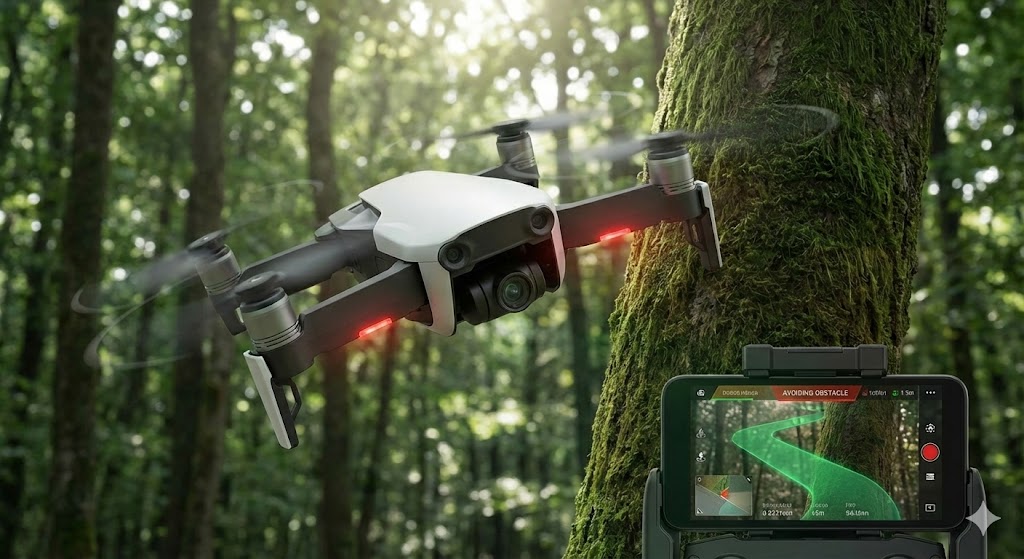
Despite its strengths, the technology faces challenges. Turbidity, caused by suspended sediments or phytoplankton, scatters and absorbs the laser signal, limiting penetration depth. Dark, absorptive bottoms (like certain algae or mud) return weaker signals than bright, sandy bottoms. Surface conditions such as waves and sun glint can also introduce noise. Ongoing research focuses on advanced algorithms to filter noise, multi-spectral approaches to assess water optical properties, and the use of unmanned aerial vehicles (UAVs) as more flexible and cost-effective platforms for smaller-scale surveys.
In conclusion, laser sensor technology for water depth measurement represents a significant leap forward in hydrospatial data acquisition. By leveraging the unique properties of green laser light, it delivers fast, accurate, and high-resolution bathymetric data essential for safe navigation, coastal zone management, and scientific research. As sensor technology and data processing algorithms continue to evolve, the role of laser bathymetry in understanding and managing our underwater environments will only become more prominent, offering clearer insights into the vast, submerged landscapes of our planet.