In the rapidly evolving landscape of agricultural technology and environmental science, a powerful tool is quietly transforming how we perceive and interact with the plant world: the Plant LiDAR Sensor. Unlike traditional methods of plant analysis, which often rely on manual sampling or broad-spectrum remote sensing, LiDAR (Light Detection and Ranging) offers an unprecedented level of precision, creating detailed three-dimensional maps of plant structures from the canopy down to individual stems and leaves.
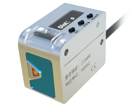
At its core, a plant-focused LiDAR system operates by emitting rapid pulses of laser light towards a target—a single tree, a row of crops, or an entire forest. These pulses travel at the speed of light, strike the surfaces of leaves, branches, and trunks, and reflect back to the sensor. By meticulously measuring the time it takes for each pulse to return, the sensor calculates exact distances. When millions of these measurements are compiled, they generate a dense, accurate point cloud, a digital twin of the vegetation's physical form. This 3D model is rich with quantifiable data, far beyond what a standard camera or satellite image can provide.
The applications of this technology are vast and impactful. In precision agriculture, LiDAR sensors mounted on ground vehicles or drones are becoming indispensable. Farmers can now conduct non-invasive plant health assessments with remarkable detail. The sensor data can estimate critical parameters like canopy height, volume, density, and leaf area index (LAI). This information directly translates into actionable insights. For instance, variations in canopy density might indicate areas of nutrient deficiency, water stress, or pest infestation long before visible symptoms appear to the human eye. This enables targeted intervention, allowing for the precise application of water, fertilizers, or pesticides only where needed, promoting sustainability and reducing input costs.
Beyond individual farms, plant LiDAR is a cornerstone of modern forestry management and ecological research. Scientists use terrestrial and airborne LiDAR to measure forest biomass, estimate carbon sequestration capacity, and monitor deforestation or forest degradation with high accuracy. The ability to measure tree height, diameter, and crown structure over large areas provides invaluable data for understanding ecosystem health, tracking climate change impacts, and informing conservation strategies. It allows for the monitoring of growth rates over time, assessing damage from storms or fires, and planning sustainable harvesting operations.
The technology also plays a crucial role in horticulture and urban forestry. Nurseries can use LiDAR to monitor the growth and form of high-value ornamental plants or saplings. City planners can inventory urban tree canopies to assess their coverage, health, and the ecosystem services they provide, such as shade, stormwater mitigation, and air purification. This data supports better urban green space management and planning.
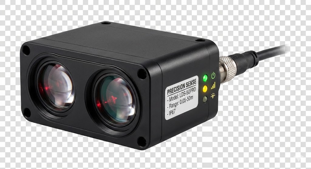
The evolution of plant LiDAR sensors is closely tied to advancements in miniaturization, data processing, and platform integration. Modern sensors are smaller, lighter, and more energy-efficient, making them ideal for integration with unmanned aerial vehicles (UAVs or drones). Drone-based LiDAR surveys offer flexibility, high resolution, and the ability to access difficult terrain. Meanwhile, breakthroughs in algorithms and artificial intelligence are enhancing the speed and accuracy of point cloud classification, automatically distinguishing between ground, vegetation, and man-made structures, and even identifying different plant species based on structural signatures.
Despite its power, the adoption of plant LiDAR is not without challenges. The cost of high-end systems can be a barrier for some users, though prices are gradually decreasing. Processing the massive datasets generated requires robust computing power and specialized software expertise. Furthermore, factors like extreme weather conditions, very dense foliage, or highly reflective surfaces can sometimes affect data quality, necessitating careful survey planning and data validation.
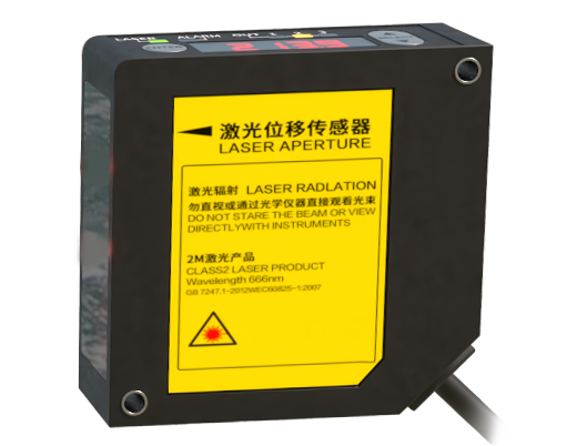
Looking ahead, the future of plant LiDAR sensors is exceptionally promising. The trend is towards greater automation, real-time data processing, and fusion with other sensor data, such as hyperspectral or thermal imaging. Combining structural data from LiDAR with spectral data revealing chemical composition (like chlorophyll content) creates a holistic picture of plant physiology. As the technology becomes more accessible and user-friendly, its use will expand from research institutions and large agribusinesses to smaller-scale farmers and environmental consultants.
In conclusion, plant LiDAR sensors represent a paradigm shift in our ability to measure, monitor, and manage vegetation. By providing exact, quantitative, and three-dimensional structural data, they unlock a deeper understanding of plant life. From optimizing crop yields and conserving natural resources to mitigating climate change and beautifying cities, this laser-based technology is proving to be an essential instrument for building a more sustainable and productive relationship with the botanical world that sustains us all.