In the realm of modern civil engineering and underground infrastructure management, tunnel laser scanning sensors have emerged as a transformative technology. These sophisticated devices, often based on LiDAR (Light Detection and Ranging) principles, are fundamentally changing how engineers survey, monitor, and maintain tunnel environments with unprecedented precision and efficiency.
The core technology involves emitting rapid pulses of laser light towards the tunnel surfaces. A sensor then measures the time it takes for each pulse to reflect back. By calculating these time-of-flight measurements from millions of data points, the system constructs an extremely detailed, high-resolution, three-dimensional point cloud model of the entire tunnel interior. This digital twin captures every nuance, from the overall geometry and alignment to minute cracks, deformations, and surface irregularities. The accuracy is remarkable, often achieving millimeter-level precision, which is critical for ensuring structural integrity and safety.
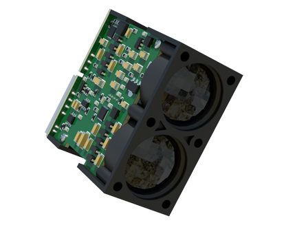
The applications for this technology within the tunneling industry are vast and critical. During the construction phase, laser scanning provides as-built verification, ensuring that the excavated tunnel profile matches the design specifications precisely. This allows for immediate corrective actions if deviations are detected, saving significant time and cost overruns. For existing operational tunnels, such as those for railways, subways, or roadways, regular scanning campaigns are indispensable for preventive maintenance. Engineers can quantitatively monitor convergence (the inward movement of tunnel walls), detect lining defects, measure clearances for dynamic envelopes of passing vehicles, and assess the impact of adjacent construction activities. This data-driven approach moves maintenance from a reactive, schedule-based model to a proactive, condition-based paradigm.
Furthermore, tunnel laser scanners are integral to the Building Information Modeling (BIM) process for underground assets. The rich 3D data seamlessly integrates into BIM platforms, creating intelligent, information-rich models that can be used for the entire asset lifecycle—from design and construction to operation, maintenance, and future renovation. This facilitates better collaboration among stakeholders and improves long-term asset management strategies.
Operational advantages are substantial. Traditional survey methods in tunnels are often slow, labor-intensive, and can pose safety risks by requiring personnel to work near live traffic or in confined spaces. In contrast, mobile laser scanning systems can be mounted on vehicles, rail carts, or even handheld platforms, allowing for rapid data acquisition without disrupting normal tunnel operations. A comprehensive scan of a several-kilometer-long tunnel can be completed in a fraction of the time required by conventional techniques. The resulting datasets are not only more comprehensive but also entirely objective and reproducible, providing a reliable historical record for trend analysis.
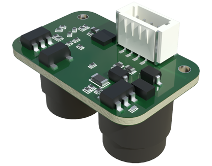
The evolution of this technology continues. Modern sensors now integrate inertial measurement units (IMUs) and GNSS (where signal is available) for precise georeferencing. Software advancements enable automated feature extraction, change detection between successive scans, and advanced analytics to predict potential failure modes. The integration with other sensors, like thermal or multispectral cameras, provides even deeper insights, such as detecting water ingress or material degradation.
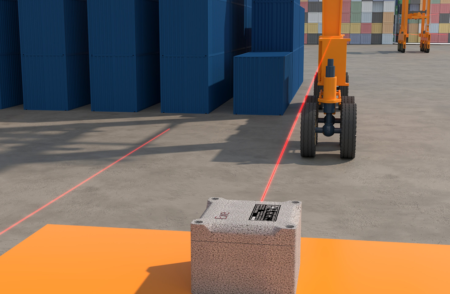
In conclusion, tunnel laser scanning sensors represent a cornerstone of digitalization in underground infrastructure. They deliver the accurate, dense, and actionable spatial data necessary to build safer tunnels, optimize maintenance expenditures, and extend the service life of these vital assets. As sensor technology, data processing algorithms, and robotic platforms advance, their role will only become more central, paving the way for smarter, more resilient, and efficiently managed underground networks worldwide.