In the realm of sensing and measurement technologies, the terms "Lidar" and "laser sensor" are often used, sometimes interchangeably, leading to confusion. While both utilize laser light, their principles, capabilities, and typical applications differ significantly. This article clarifies these distinctions, exploring the core technology and where each excels.
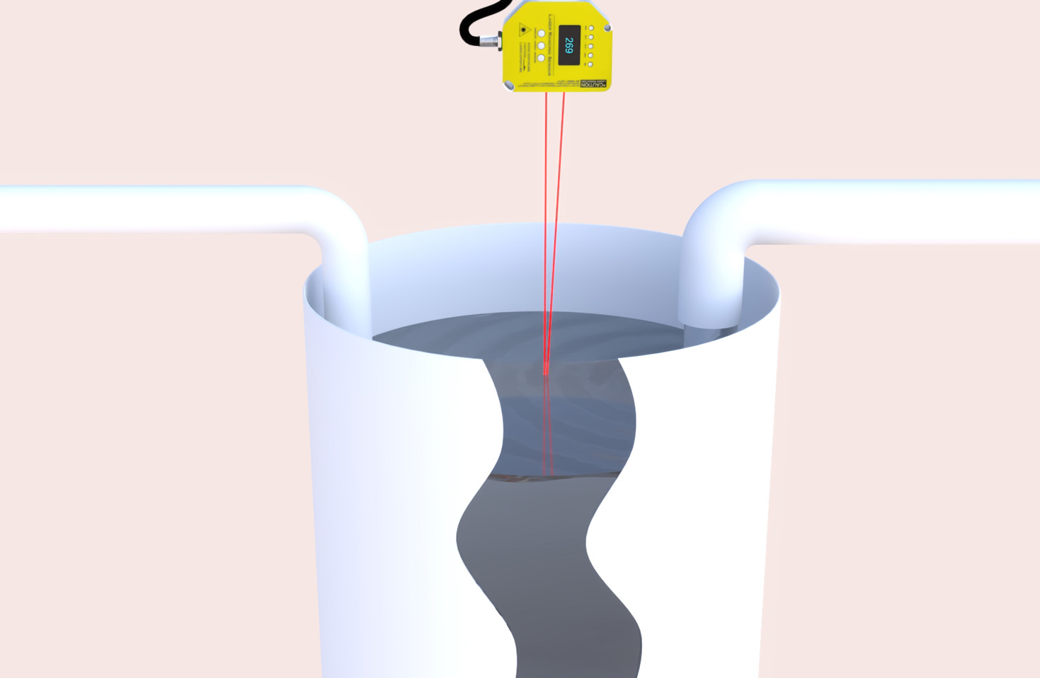
At its most fundamental, a laser sensor is a broad category of devices that use a focused beam of laser light to perform a specific, often singular, task. The most common type is the laser distance sensor or laser rangefinder. It operates on a straightforward principle: it emits a short pulse or a modulated continuous wave of laser light towards a target and measures the time it takes for the reflection to return. Using the known speed of light, it calculates the distance with high precision. These sensors are typically point-based, measuring one spot at a time. Their applications are vast and focused on precision measurement: they are used in industrial automation for part positioning and inspection, in construction for alignment and leveling, as handheld rangefinders for surveying, and even in consumer electronics like autofocus systems. They are valued for their accuracy, simplicity, and reliability for specific, localized measurements.
Lidar, which stands for Light Detection and Ranging, is a more complex and powerful technology. It is essentially a scanning laser sensor system. A core Lidar unit contains a laser emitter and a sensitive detector, but it incorporates a scanning mechanism—often a rotating mirror, a oscillating mirror (MEMS), or a solid-state phased array—that directs the laser beam across a field of view. Instead of measuring a single point, it captures thousands to millions of distance points per second, creating a rich, detailed 3D point cloud map of the surrounding environment. This spatial awareness is its defining feature. The data from a Lidar sensor is processed to not only know distances but to understand shapes, volumes, and the relative position of objects in space.
The key differences are therefore in scope and data output. A standard laser sensor provides a precise 1D measurement: a distance to a point. Lidar provides multidimensional 3D spatial data, mapping entire scenes. This fundamental difference dictates their primary applications. Laser sensors are the tool of choice for targeted, high-precision tasks where the exact location of a specific point is needed. Lidar is indispensable for applications requiring environmental perception and mapping.
In the automotive industry, Lidar is a cornerstone sensor for autonomous vehicles and advanced driver-assistance systems (ADAS). It creates a real-time, 360-degree model of the car's surroundings, identifying the position, shape, and movement of other vehicles, pedestrians, cyclists, and road boundaries with high fidelity, especially in varying lighting conditions. A single laser distance sensor on a car might be used for something like adaptive cruise control to maintain distance from the car directly ahead, but it cannot perceive the full scene.
Beyond automotive, Lidar is revolutionizing topography and geography through airborne and terrestrial laser scanning, generating highly accurate digital elevation models for flood mapping, forestry management, and urban planning. In robotics, from warehouse logistics robots to agricultural machines, Lidar provides the essential spatial awareness for navigation and obstacle avoidance in dynamic, unstructured environments. Archaeology and cultural heritage preservation also use Lidar to reveal landscape features hidden by vegetation.
Conversely, laser sensors are the unsung heroes of precise industrial automation. They ensure robotic arms place components with micron-level accuracy, verify the dimensions of manufactured parts on a high-speed production line, and control the precise filling levels in bottling plants. Their simplicity makes them robust and cost-effective for these well-defined roles.
Choosing between the two technologies depends entirely on the application's requirements. If the need is to measure the exact distance to a known, specific target repeatedly and reliably, a laser sensor is often the optimal, simpler, and more economical solution. If the requirement is to dynamically map, navigate, or understand a complex, unknown environment in three dimensions, then Lidar is the necessary technology, despite its typically higher cost and computational demands.
In summary, while sharing a common foundation in laser physics, laser sensors and Lidar serve different masters. The laser sensor is a precision measuring instrument, delivering exact numbers for defined tasks. Lidar is an environmental perception system, delivering a rich digital canvas of the world. Understanding this distinction is crucial for engineers, developers, and decision-makers to select the right tool to bring their technological visions to life, from the factory floor to the open road.