Lidar, an acronym for Light Detection and Ranging, fundamentally operates as a sophisticated sensor technology. It functions by emitting rapid pulses of laser light and measuring the time it takes for each pulse to reflect off surrounding objects and return to the sensor. This precise measurement of time-of-flight allows the system to calculate distances with exceptional accuracy, generating a detailed, three-dimensional point cloud map of the environment. Unlike passive optical sensors like cameras, Lidar is an active sensor, creating its own illumination source. This characteristic grants it significant advantages, particularly in low-light conditions or at night, where it performs independently of ambient light.
The core principle behind Lidar's operation is akin to radar but uses light waves instead of radio waves. This use of light, typically in the infrared spectrum, enables the detection of much finer details. The sensor assembly usually consists of a laser emitter, a scanner or rotating mechanism to direct the pulses, and a highly sensitive photodetector to capture the returning signals. Modern systems, especially solid-state Lidar, are evolving to be more compact and reliable by minimizing or eliminating moving mechanical parts.
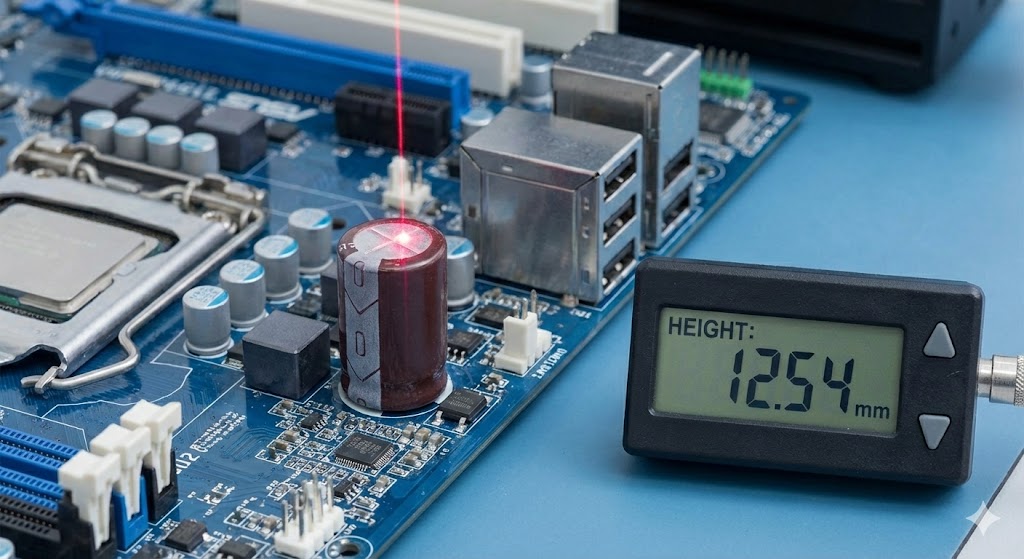
As a primary sensor, Lidar's role is to perceive and measure the physical world. Its data output is a precise geometric representation of space. This raw spatial data is then interpreted by downstream algorithms and software for various applications. In autonomous vehicles, for instance, this data is fused with inputs from cameras, radar, and ultrasonic sensors to create a robust and redundant understanding of the vehicle's surroundings, enabling object detection, classification, and trajectory prediction.
The applications of Lidar sensors extend far beyond automotive technology. In topography and surveying, it is used to create high-resolution digital elevation models. Archaeologists employ it to map terrain and reveal hidden structures beneath forest canopies. In robotics, from warehouse automation to domestic vacuum cleaners, Lidar provides essential navigation and obstacle avoidance capabilities. Environmental scientists use it to measure atmospheric composition, cloud profiles, and wind speeds.
A key discussion point is the comparison with other sensor types. Cameras provide rich texture and color information (semantic data) but struggle with precise depth perception and are susceptible to lighting variations. Radar excels at measuring speed and performs well in adverse weather but offers lower spatial resolution. Lidar fills a critical gap by providing high-resolution, accurate depth information regardless of lighting, though its performance can degrade in heavy rain, fog, or snow, as the laser pulses can scatter off precipitation particles.
The evolution of Lidar technology focuses on increasing range, improving resolution, enhancing reliability, and reducing cost and size. The shift from mechanical spinning units to solid-state and flash Lidar designs is a major trend, promising more durable and scalable solutions for mass-market adoption. Furthermore, the integration of Lidar data with artificial intelligence and machine learning models is enhancing its interpretive power, moving beyond simple distance measurement to intelligent scene understanding.
In conclusion, categorizing Lidar solely as a "sensor" is accurate but perhaps an understatement of its complexity. It is a complete remote sensing system that actively probes the environment with light. Its value lies in generating precise, quantitative spatial data that forms a foundational layer for perception systems across numerous industries. From enabling the next generation of autonomous mobility to mapping ancient ruins and monitoring climate change, Lidar stands as a pivotal sensor technology that actively shapes our ability to measure, understand, and interact with the physical world in three dimensions.