In the realm of modern infrastructure management, pavement inspection is a critical task that ensures safety, longevity, and efficiency of road networks. Traditional methods, such as visual assessments or manual measurements, often fall short in accuracy, speed, and scalability. Enter laser sensors—a transformative technology that has revolutionized how engineers and technicians evaluate pavement conditions. This article delves into the principles, types, and applications of laser sensors in pavement inspection, highlighting their advantages and future trends.
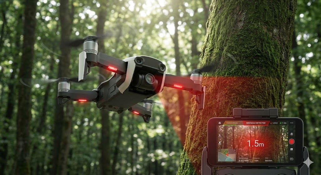
Laser sensors operate on the principle of emitting focused light beams and measuring the reflected signals to determine surface characteristics. In pavement inspection, these sensors are typically mounted on vehicles or drones, allowing for rapid data collection over large areas. The most common types include triangulation sensors, time-of-flight sensors, and laser profilometers. Triangulation sensors use geometric calculations to measure distance and detect surface irregularities, making them ideal for identifying cracks and potholes. Time-of-flight sensors calculate distance based on the time taken for a laser pulse to return, enabling high-speed scanning of road surfaces. Laser profilometers, on the other hand, create detailed 3D profiles of pavements by capturing cross-sectional data, which is essential for assessing roughness and texture.
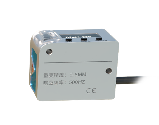
The applications of laser sensors in pavement inspection are vast and impactful. One key use is in detecting and quantifying surface distresses, such as cracks, rutting, and raveling. By providing precise measurements, laser sensors help prioritize maintenance efforts and allocate resources effectively. For instance, automated crack detection systems can classify cracks by type and severity, reducing human error and inspection time. Additionally, laser sensors play a crucial role in measuring pavement roughness, which directly affects ride quality and vehicle wear. International Roughness Index (IRI) values derived from laser data are used to evaluate road performance and plan rehabilitation projects. Another significant application is in friction assessment, where laser-based systems analyze surface texture to predict skid resistance, enhancing safety for drivers.
Advantages of using laser sensors over conventional methods are numerous. They offer non-contact measurement, minimizing wear and tear on equipment and avoiding disruption to traffic. High accuracy and repeatability ensure reliable data for long-term monitoring, while their ability to operate at high speeds allows for comprehensive network-level surveys. Moreover, integration with Geographic Information Systems (GIS) and Building Information Modeling (BIM) enables spatial analysis and predictive modeling, supporting data-driven decision-making in infrastructure management.
Despite these benefits, challenges remain. Environmental factors like rain, dust, or extreme temperatures can affect sensor performance, requiring calibration and robust design. Cost barriers may also limit adoption for smaller agencies, though prices are decreasing as technology matures. Looking ahead, advancements in artificial intelligence and machine learning are set to enhance data processing capabilities, enabling real-time analysis and anomaly detection. The rise of autonomous inspection vehicles and drones equipped with laser sensors promises even greater efficiency and coverage.
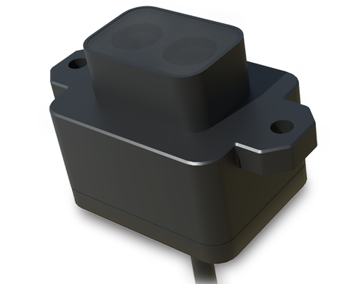
In conclusion, laser sensors represent a cornerstone of modern pavement inspection, offering unparalleled precision, efficiency, and scalability. As infrastructure demands grow, embracing these technologies will be essential for maintaining safe and sustainable roadways. Engineers and stakeholders should stay abreast of innovations to leverage laser sensors for smarter, more resilient infrastructure systems.