Proximity sensors play a critical role in modern metro systems, ensuring safety, efficiency, and reliability. These sensors are strategically installed along tracks, near doors, and around platforms to detect the presence of trains, obstacles, or passengers. The images captured by these sensors—often referred to as proximity sensor images—provide valuable data for real-time monitoring and automated control.
In metro operations, proximity sensors utilize technologies such as infrared, ultrasonic, or laser-based systems to generate visual data. These images are not typical photographs but rather graphical representations of detected objects, often displayed as heat maps, distance plots, or binary outlines. For instance, an infrared sensor might produce a thermal image highlighting temperature variations near train doors, while an ultrasonic sensor could generate a contour map showing the distance between a train and the platform edge.
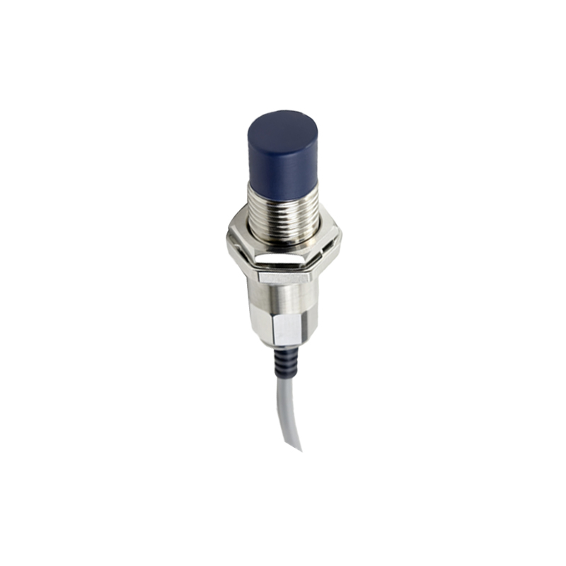
The primary application of these images is collision avoidance. By continuously analyzing proximity sensor images, metro control centers can identify potential hazards, such as objects on tracks or overcrowding near doors. Automated systems use this data to adjust train speeds, trigger emergency brakes, or issue alerts to operators. For example, if a sensor image indicates an obstacle within a predefined danger zone, the system can immediately halt train movement, preventing accidents.
Another key use is in passenger flow management. Sensors installed near doors and platforms capture images that help monitor boarding and alighting processes. These images assist in optimizing door operation times, reducing delays, and enhancing passenger safety. In some advanced systems, AI algorithms analyze the images to predict congestion points and suggest operational adjustments, though human oversight remains essential for decision-making.
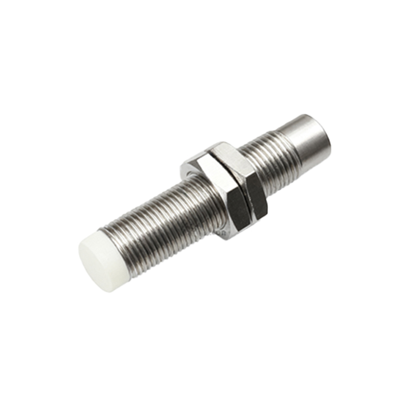
Maintenance teams also rely on proximity sensor images for diagnostic purposes. Regular analysis of these images can reveal wear and tear on sensor components or environmental factors like dust accumulation that might affect performance. By identifying issues early, maintenance can be scheduled proactively, minimizing downtime and ensuring consistent sensor accuracy.
However, interpreting proximity sensor images requires specialized training. Operators must understand the nuances of different sensor technologies and their visual outputs. For instance, a laser-based sensor image might show precise distance measurements as grayscale gradients, where darker shades indicate closer objects. Misinterpretation could lead to false alarms or missed warnings, emphasizing the need for rigorous training protocols.
Data privacy is another consideration. While proximity sensor images typically focus on object detection rather than personal identification, metro authorities implement strict data handling policies. Images are often anonymized and stored securely, with access limited to authorized personnel only. Compliance with regional regulations, such as GDPR in Europe, ensures that passenger privacy is protected.
Looking ahead, innovations in sensor technology promise even clearer and more detailed images. High-resolution 3D imaging sensors, for example, could provide depth-perception data, improving accuracy in crowded environments. Integration with other metro systems, like signaling or passenger information displays, might enable more cohesive operational strategies.
In conclusion, proximity sensor images are indispensable tools for modern metro networks. They enhance safety by preventing collisions, improve efficiency through better passenger management, and support maintenance efforts. As metro systems evolve, these images will continue to be vital for achieving seamless urban transportation. For passengers, this technology works silently in the background, contributing to smoother and safer journeys every day.