The integration of a LiDAR (Light Detection and Ranging) scanner into the iPhone 13 Pro and Pro Max marked a significant leap beyond consumer photography, introducing a sophisticated depth-sensing technology with profound implications for professional and industrial fields. While marketed heavily for enhanced portrait mode and low-light autofocus, this compact sensor embodies principles and capabilities that resonate deeply with engineers, architects, surveyors, and AR developers. This article explores the technical workings of the iPhone 13's LiDAR sensor, its specifications within a mobile context, and its potential as a disruptive tool in various technical disciplines.
At its core, the iPhone's LiDAR scanner is a time-of-flight (ToF) sensor. It operates by emitting invisible, eye-safe laser pulses (typically in the 940nm wavelength range) and precisely measuring the time it takes for each pulse to reflect off surrounding objects and return to the sensor. By calculating this interval (t) and knowing the constant speed of light (c), the device can determine distance (d) using the fundamental equation: d = (c * t) / 2. The scanner performs this operation millions of times per second, creating a dense, real-time point cloud—a three-dimensional map of the immediate environment. This is fundamentally the same principle used in terrestrial laser scanners (TLS) and airborne LiDAR systems, albeit at a vastly different scale, range, and accuracy.
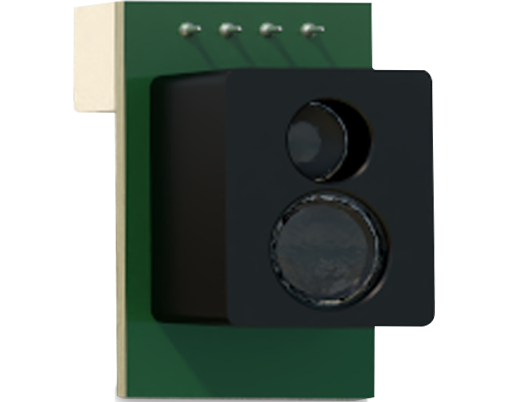
The specifications of the mobile LiDAR unit are tailored for its form factor. It has an effective range of approximately 5 meters, which is sufficient for room-scale scanning and object interaction. Its accuracy, while not rivaling professional survey-grade equipment (which operates at millimeter precision), is remarkably high for a consumer device, often cited within a few centimeters. This makes it ideal for applications where relative dimensions and spatial understanding are more critical than absolute, georeferenced precision. The sensor works in conjunction with the iPhone's advanced cameras, inertial measurement unit (IMU), and the A15 Bionic chip's Neural Engine. This fusion allows for simultaneous localization and mapping (SLAM), enabling the phone to understand its position within a scanned space while continuously updating the 3D model.
For industrial and professional applications, this technology unlocks several compelling use cases. In architecture and construction, the iPhone 13 can serve as a rapid preliminary scanning tool. Contractors can quickly capture the as-built conditions of a room, measuring dimensions, checking for levelness, or identifying potential clashes between existing structures and new designs. Apps like *Polycam* or *SiteScape* allow users to generate textured 3D models that can be exported in standard formats (USDZ, OBJ, DXF) for integration into CAD software like AutoCAD or Revit, streamlining the documentation process.
In facilities management and interior design, the ability to create accurate floor plans and volumetric models on-the-fly is transformative. Inventory management in warehouses can be augmented by scanning storage racks and aisles to model space utilization. For heritage preservation, the LiDAR scanner provides a low-cost, highly portable means to create detailed 3D records of historical sites, artifacts, or architectural details, democratizing a process once reserved for specialists with expensive hardware.
Perhaps the most significant industrial impact is in the realm of Augmented Reality (AR). The precise, real-time depth mapping drastically improves AR object placement and occlusion. Virtual furniture in a showroom app stays convincingly behind real-world tables. Machine maintenance instructions can be anchored precisely to a physical component on a factory floor. Engineering prototypes can be visualized at 1:1 scale within a real environment, allowing for spatial validation before physical manufacturing begins. The LiDAR sensor provides the environmental understanding that moves AR from a novelty to a reliable industrial tool.
However, it is crucial to understand its limitations. The sensor's range and performance degrade in direct sunlight or on highly reflective/absorbent surfaces. The data, while useful, is not certified for legal or critical structural engineering purposes. It is a tool for visualization, planning, and communication, not for replacing high-stakes metrology.
In conclusion, the iPhone 13's LiDAR scanner represents a pivotal moment in the democratization of spatial computing. By packaging a powerful depth-sensing technology into a ubiquitous mobile device, Apple has placed a potent tool into the pockets of professionals across industries. It bridges the gap between consumer electronics and professional-grade instrumentation, fostering innovation in AR, rapid prototyping, and spatial documentation. For the forward-thinking engineer or technician, it is not merely a camera enhancement but a versatile pocket-sized 3D sensor, opening new workflows and perspectives on the physical world.