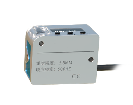
Leica laser distance sensors represent the pinnacle of precision measurement technology, engineered for applications demanding uncompromising accuracy and reliability. Utilizing advanced time-of-flight or phase-shift measurement principles, these sensors emit laser pulses toward a target. The device then calculates the distance by precisely measuring the time it takes for the light to reflect back to the sensor. This fundamental technology, refined by Leica Geosystems, a Hexagon company, delivers exceptional performance even in challenging industrial and construction environments.
The core advantage of Leica's laser distance measurement lies in its non-contact methodology. Operators can measure distances to objects that are difficult, dangerous, or impossible to reach physically. This capability is crucial in sectors like civil engineering, where measuring distances across construction sites, verifying structural dimensions, or calculating volumes of materials is a daily necessity. The sensors provide instant, digital readings, eliminating the errors associated with traditional tape measures and manual calculations. This not only boosts productivity but also significantly enhances data quality for planning and documentation.
Beyond basic distance measurement, modern Leica laser sensors integrate sophisticated features. Many models are equipped with Bluetooth connectivity, allowing for seamless data transfer to smartphones, tablets, or field controllers. Specialized software applications, such as Leica DISTO™ apps, enable users to create floor plans, calculate areas and volumes, and even add photographic documentation directly on-site. This digital workflow streamlines projects from initial survey to final reporting, ensuring all stakeholders work from accurate, up-to-date information.
Durability and design are hallmarks of the Leica brand. These sensors are typically built to withstand dust, water splashes, and accidental drops, often meeting stringent Ingress Protection (IP) ratings. The ergonomic design ensures comfortable use over extended periods, while intuitive interfaces with backlit displays allow for operation in various lighting conditions, from bright sunlight to dimly lit interiors. This ruggedness makes them indispensable tools for surveyors, architects, facility managers, and interior designers who work in diverse and unpredictable settings.
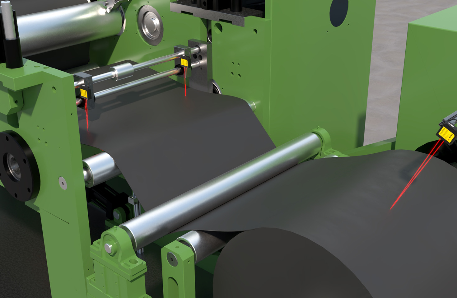
The application spectrum for Leica laser distance sensors is remarkably broad. In construction and renovation, they are used for aligning structures, checking clearances, and planning installations. Real estate professionals rely on them for quickly and accurately determining room sizes and property dimensions. Industrial maintenance teams use them for machinery alignment, inventory management, and planning logistical spaces. Even in creative fields like stage design or exhibition planning, these tools provide the precise measurements needed to bring complex designs to life.
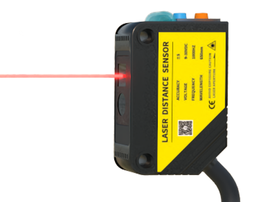
Selecting the right Leica laser sensor depends on specific project requirements. Key specifications to consider include measurement range, accuracy, and additional functionalities. Standard handheld models may offer ranges from 50 to 200 meters with an accuracy of ±1.5 mm. For long-range or highly precise applications, such as monitoring structural deformation or topographic surveys, more advanced models with extended range and sub-millimeter accuracy are available. Features like a digital tilt sensor for height calculations, a camera with integrated viewfinder for targeting small or distant points, and robust data management software further define the tool's suitability for a task.
Looking forward, the integration of laser distance measurement with Building Information Modeling (BIM) and other digital twin technologies is a growing trend. The data captured by these sensors can feed directly into 3D models, ensuring that digital representations of buildings and infrastructure are accurate reflections of reality. This synergy is vital for the future of construction, facility management, and smart city development. Leica continues to innovate in this space, developing solutions that bridge the gap between physical measurement and digital project management.
In conclusion, Leica laser distance sensors are more than simple measuring tools; they are enablers of efficiency, accuracy, and digital transformation. By providing fast, reliable, and precise distance data, they form the foundation for informed decision-making across countless industries. Their robust construction, user-centric design, and continuous technological evolution solidify Leica's position as a leader in the geospatial measurement solutions market, helping professionals worldwide turn measurement challenges into actionable insights.