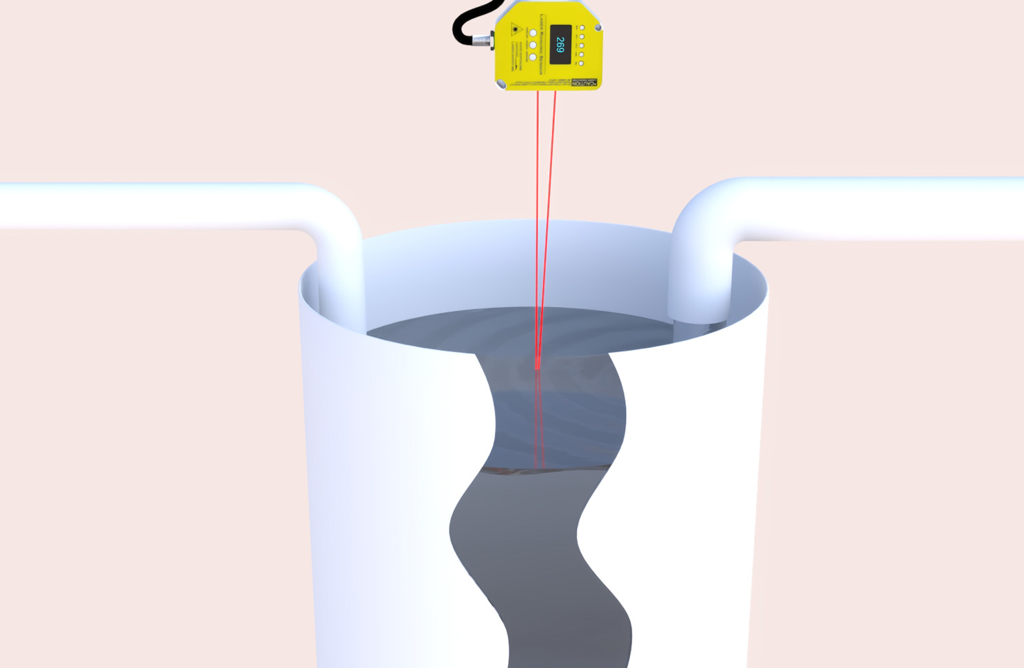
In the rapidly evolving landscape of sensing technology, LiDAR (Light Detection and Ranging) has emerged as a cornerstone for precision and reliability. At its core, a LiDAR sensor is a sophisticated device that measures distance by illuminating a target with pulsed laser light and measuring the reflected pulses with a sensor. Differences in laser return times and wavelengths are then used to construct precise three-dimensional representations of the scanned environment. This fundamental principle of time-of-flight measurement enables LiDAR to deliver unparalleled accuracy in mapping and object detection, operating effectively across a vast spectrum of lighting conditions, from bright daylight to complete darkness.
The architecture of a modern LiDAR system is a marvel of optoelectronics and signal processing. Key components include the laser emitter, typically using eye-safe wavelengths in the near-infrared spectrum (e.g., 905nm or 1550nm), a sensitive photodetector (like an Avalanche Photodiode or APD), and a high-speed scanning mechanism. This scanner is the heart of spatial data acquisition. Early systems relied heavily on mechanical rotation, using spinning mirrors or the entire sensor assembly to achieve a 360-degree field of view. While still prevalent for high-performance applications like autonomous vehicle mapping, the industry is aggressively moving towards solid-state and hybrid solid-state solutions. These designs, such as MEMS (Micro-Electro-Mechanical Systems) mirror-based or optical phased array LiDAR, eliminate or drastically reduce moving parts. This shift results in enhanced durability, smaller form factors, lower power consumption, and the potential for significant cost reduction at scale—a critical factor for mass-market adoption.
The applications of LiDAR sensors extend far beyond their most famous role in autonomous vehicles. In the automotive sector, they are a critical sensor fusion component, providing high-resolution point cloud data to complement cameras and radar. This data is essential for creating a real-time, high-definition 3D map of the vehicle's surroundings, enabling functions like adaptive cruise control, automatic emergency braking, and, ultimately, self-driving navigation. However, its utility is profoundly versatile. In topographic surveying and cartography, airborne LiDAR systems mounted on drones or aircraft generate exceptionally accurate Digital Elevation Models (DEMs), revolutionizing fields like urban planning, forestry management, and flood risk assessment. Industrial automation leverages LiDAR for precise object detection, volume measurement, and guiding autonomous mobile robots (AMRs) in dynamic warehouse environments. Furthermore, LiDAR is making significant inroads into robotics, smart infrastructure monitoring, archaeology, and even consumer electronics for enhanced photography and augmented reality experiences.
When selecting a LiDAR sensor for a specific application, engineers must carefully evaluate a matrix of key performance parameters. Range and accuracy are paramount; a long-range automotive LiDAR might need to detect objects at 200+ meters with centimeter-level accuracy, while a warehouse navigation unit may only require 30 meters. Angular resolution, which defines the density of points in the point cloud, determines the level of detail perceived. The field of view (FoV), both horizontal and vertical, dictates the sensor's coverage area. Scan rate or frame rate is crucial for capturing fast-moving objects. Environmental robustness is non-negotiable; the sensor must maintain performance under varying temperatures, humidity, vibration, and exposure to sunlight or other ambient light interference. Finally, the data output interface (e.g., Ethernet, CAN) and the supporting software development kit (SDK) for point cloud processing are vital for system integration.

Despite its advantages, LiDAR technology faces ongoing challenges. Cost remains a significant barrier for ubiquitous deployment, though semiconductor integration and manufacturing innovations are steadily driving prices down. Performance in adverse weather conditions, particularly dense fog or heavy rain where laser scattering occurs, is an active area of research, often addressed through sensor fusion algorithms. The quest for higher resolution, longer range, and miniaturization continues to push material science and photonic integrated circuit design. Looking ahead, the future of LiDAR is intrinsically linked to trends like fully solid-state designs, the development of FMCW (Frequency-Modulated Continuous Wave) LiDAR for direct velocity measurement, and deeper integration with artificial intelligence. AI and machine learning algorithms are becoming essential for intelligently interpreting the massive streams of point cloud data, distinguishing between a pedestrian, a cyclist, and a stationary pole with increasing speed and reliability.
In conclusion, the LiDAR sensor is far more than just a component; it is an enabling technology that provides machines with a profound sense of spatial awareness. Its ability to generate precise, real-time 3D environmental data is unlocking new frontiers across diverse industries. As the technology matures, becoming more compact, affordable, and intelligent, its integration into our technological ecosystem will only deepen, solidifying its role as the definitive eyes for the autonomous and intelligent systems of tomorrow.