The evolution of autonomous technology hinges on one critical capability: perceiving the world with unprecedented accuracy and reliability. At the forefront of this sensory revolution is the strategic deployment of multiple LiDAR (Light Detection and Ranging) sensors. A configuration utilizing 12 LiDAR units represents a sophisticated approach, moving far beyond the capabilities of single or dual-sensor systems. This multi-faceted sensor suite is engineered to create a seamless, high-definition 360-degree perception bubble, enabling machines to navigate complex environments with confidence.
The core principle of LiDAR involves emitting pulsed laser light and measuring the time it takes for each pulse to return after hitting an object. This data generates precise three-dimensional point clouds, mapping the surroundings in real-time. A single LiDAR, often mounted on a vehicle's roof, provides a substantial field of view. However, it inevitably creates blind zones—areas close to the vehicle's sides, directly in front of the bumper, or at the rear—where critical obstacles like pedestrians, curbs, or low-lying objects can remain undetected.
This is where a 12-LiDAR architecture demonstrates its engineering superiority. The system is meticulously designed to eliminate these blind spots through strategic placement. Typically, long-range, high-resolution LiDAR units are positioned at the four corners of a vehicle or platform. These sensors are responsible for primary forward perception and long-range object tracking at highway speeds, capable of identifying details hundreds of meters away. Complementing these are mid-range LiDARs along the sides, crucial for monitoring adjacent lanes, detecting vehicles during lane changes, and perceiving activity at intersections.
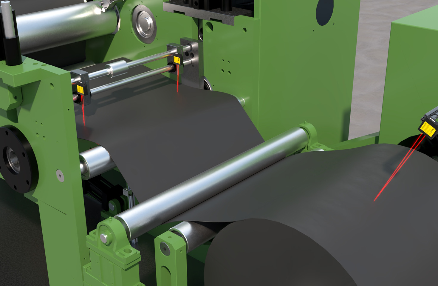
The most critical enhancement comes from the integration of short-range, wide-field-of-view LiDAR sensors. These are often embedded in the front and rear bumpers, side mirrors, and lower sections of the body. Their role is to perceive the immediate proximity of the vehicle—a child running behind the car, a bicycle approaching from a blind alley, or debris on the road. By fusing the data streams from all 12 sensors, the system's central computer constructs a unified, real-time 4D model (including velocity) of the entire environment. This model is continuously updated, allowing the system to not only see static objects but also to predict the trajectory of every moving entity with high fidelity.
The applications for such a robust perception system extend across various domains. In autonomous passenger vehicles and robotaxis, it is the foundation for safe operation in dense urban settings, handling complex scenarios like unprotected left turns, pedestrian-heavy zones, and construction sites. In the logistics sector, autonomous trucks and last-mile delivery robots rely on this comprehensive coverage to maneuver in warehouses, loading docks, and crowded city sidewalks. Furthermore, in smart infrastructure and robotics, such as autonomous port operations or agricultural machinery, 12-LiDAR setups provide the environmental awareness needed for precise, collision-free operation 24/7, in all weather conditions where LiDAR is effective.
Implementing a system of this caliber involves significant engineering considerations. Sensor calibration and synchronization are paramount; all 12 units must operate in perfect harmony, with their data timestamped and aligned to a common coordinate system. The computational load for processing, filtering, and fusing billions of data points per second is immense, requiring powerful, automotive-grade processors and advanced algorithms. Additionally, factors like power consumption, thermal management, and sensor durability against vibration and environmental exposure are critical design challenges.
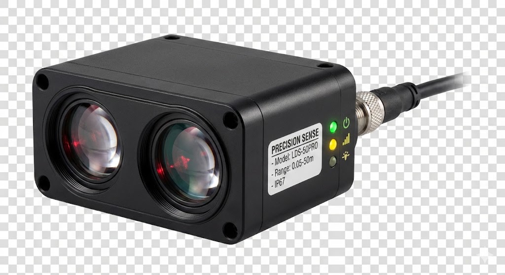
Looking ahead, the trajectory points toward sensor fusion at an even deeper level. The future of 12-LiDAR systems lies in their tight integration with other sensory modalities, such as high-resolution cameras, radar, and ultrasonic sensors. While LiDAR provides unparalleled geometric precision, cameras offer rich semantic information (like color, texture, and traffic light states), and radar excels in direct velocity measurement and performance in adverse weather. An AI-driven fusion platform that intelligently weighs the input from all these sensors—12 LiDARs included—will create a perception system that is not only comprehensive but also resilient and context-aware.
In conclusion, the deployment of 12 LiDAR sensors is not merely about adding more hardware; it is a deliberate engineering strategy to achieve holistic environmental perception. By blanketing a vehicle or machine in a overlapping web of laser pulses, this architecture closes the perception gaps that simpler systems must accept as risk. It represents a significant step toward the reliable, scalable autonomy required for real-world deployment, building a detailed and trustworthy digital understanding of the physical world that forms the bedrock of safe automated navigation.