In the rapidly evolving landscape of industrial automation, laser SLAM (Simultaneous Localization and Mapping) navigation sensors have emerged as a cornerstone technology, enabling autonomous mobile robots (AMRs), automated guided vehicles (AGVs), and other intelligent systems to perceive, map, and navigate complex environments with unprecedented accuracy and reliability. Unlike traditional navigation methods that rely on pre-defined paths or external markers, laser SLAM utilizes LiDAR (Light Detection and Ranging) sensors to generate real-time, high-fidelity maps while simultaneously determining the precise location of the vehicle within that map. This self-contained capability is revolutionizing material handling, logistics, and manufacturing operations.
The core component, the laser sensor or LiDAR, emits rapid pulses of laser light across a plane (typically 2D) or in multiple planes (3D). By measuring the time it takes for each pulse to reflect off surrounding objects and return to the sensor, it calculates precise distance measurements. A high-speed scanning mechanism, often involving a rotating mirror or a solid-state array, allows the sensor to capture a 360-degree point cloud of its environment hundreds of times per second. This dense stream of distance data forms the raw perception input for the SLAM algorithm.
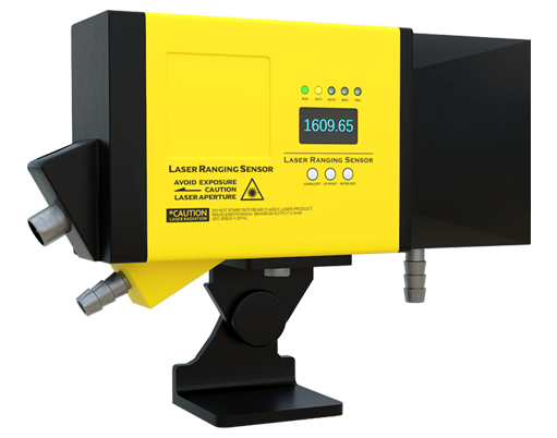
Modern laser sensors designed for SLAM navigation boast significant advancements. Key specifications include extended range, often exceeding 30 meters for long-range models, and high angular resolution, which determines the density and accuracy of the point cloud. Enhanced performance in challenging lighting conditions—resistance to ambient light interference—is critical for consistent operation in sunlit warehouses or dimly lit facilities. Furthermore, robustness against environmental factors like dust, vibration, and temperature fluctuations is a non-negotiable requirement for industrial deployment. The latest sensors also feature improved data output rates and communication protocols (e.g., Ethernet/IP, PROFINET) for seamless integration with industrial control systems.
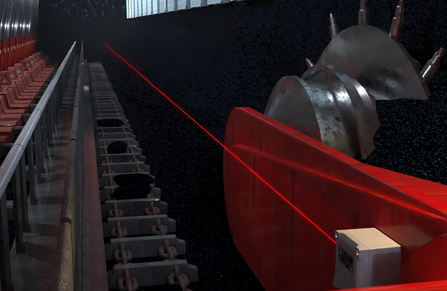
The SLAM algorithm itself is the intelligent engine that processes this sensor data. It performs two primary functions concurrently. First, it constructs a map by correlating successive scans to identify static landmarks like walls, pillars, and machinery. Second, it localizes the vehicle by estimating its position and orientation (pose) relative to this growing map. Advanced algorithms employ probabilistic techniques, such as particle filters or graph-based optimization, to handle sensor noise, dynamic obstacles (like moving personnel), and the inherent "chicken-and-egg" problem of needing a map to localize and a location to map. The result is a dynamic, centimeter-accurate understanding of the environment that requires no prior infrastructure.
The industrial applications are vast and transformative. In smart warehouses, AMRs equipped with laser SLAM navigate dynamically between picking stations, shelves, and packing areas, optimizing routes on the fly to improve throughput. In manufacturing plants, AGVs transport components across assembly lines, safely sharing space with human workers. The technology is also pivotal for automated inventory scanning, facility security patrols, and even large-scale agricultural or mining vehicles. The flexibility of SLAM allows for easy reconfiguration of workspace layouts without the cost and downtime associated with re-installing physical guides or magnetic tapes.
When selecting a laser sensor for a SLAM navigation system, engineers must consider several factors. The required field of view (FOV) dictates whether a 270-degree or 360-degree scanner is necessary. Range and resolution must be matched to the operational environment's size and clutter level. Safety-rated LiDARs (e.g., complying with IEC 61496-1 Type 3) are essential for applications involving close human-robot collaboration. Finally, the total system cost, including the sensor, computing hardware, and software integration, must align with the project's return on investment.
Looking ahead, the convergence of laser SLAM with other sensing modalities like vision cameras and inertial measurement units (IMUs) is creating more resilient and perceptive systems. The development of solid-state LiDAR, which has no moving parts, promises enhanced durability and lower costs. Furthermore, the integration of AI and machine learning is improving the system's ability to classify objects and predict dynamic behaviors within the map.
In conclusion, laser SLAM navigation represents a paradigm shift in autonomous mobility for industry. The continuous refinement of laser sensor technology, coupled with increasingly sophisticated algorithms, is delivering robust, flexible, and intelligent navigation solutions. These systems empower businesses to achieve new levels of operational efficiency, agility, and safety, solidifying their role as an indispensable tool in the Industry 4.0 arsenal.