For decades, Earth observation satellites have relied primarily on passive optical and radar instruments to gather data about our planet. While invaluable, these technologies have limitations, particularly in measuring vertical structure with high precision. Enter satellite laser sensors, a class of active remote sensing instruments that are fundamentally transforming our ability to map, measure, and monitor the Earth in three dimensions. By emitting pulses of laser light and precisely measuring the time it takes for those photons to return after reflecting off the Earth's surface, these sensors generate extraordinarily accurate topographic data.
The most prominent and successful implementation of this technology is NASA's ICESat-2 mission, which carries the Advanced Topographic Laser Altimeter System (ATLAS). Launched in 2018, ATLAS is a photon-counting lidar that splits a single laser into six beams, firing 10,000 pulses per second. Each pulse contains trillions of photons, and by timing the return of even a handful of these individual photons with a precision of a fraction of a nanosecond, the instrument can determine the height of the Earth's surface to within a few centimeters. This capability is not just about measuring ice sheet elevation—its primary goal—but extends to a breathtaking array of scientific applications.
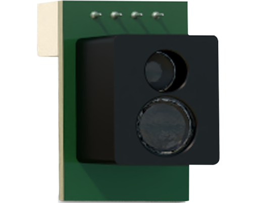
One of the most critical applications is in climate science, specifically the monitoring of polar ice sheets and sea ice thickness. The meticulous elevation data from laser altimeters like those on ICESat-2 allow scientists to calculate the volume of ice lost from Greenland and Antarctica with unprecedented accuracy, providing a direct measure of their contribution to global sea-level rise. By comparing repeated measurements over time, researchers can track thinning glaciers, shrinking ice shelves, and the seasonal evolution of sea ice freeboard, which is used to infer overall thickness.
Beyond the cryosphere, satellite laser sensors are revolutionizing our understanding of global forests. By penetrating the canopy and recording returns from both the treetops and the underlying ground, these instruments can measure forest canopy height, structure, and biomass. This data is indispensable for global carbon cycle studies, as it helps quantify the amount of carbon stored in forests and monitors changes due to deforestation, degradation, or growth. Agencies and researchers use this information to improve carbon accounting models and support initiatives like REDD+ (Reducing Emissions from Deforestation and Forest Degradation).
The technology also provides exceptional data on inland water bodies. Laser altimetry can measure the height of rivers, lakes, and reservoirs, enabling the tracking of water level changes that indicate drought, flood risk, and water resource availability. When combined with other satellite data, it helps in calculating water volume changes in crucial basins around the world. Furthermore, laser sensors contribute to oceanography by measuring sea surface height, wave height, and subsurface backscatter, offering insights into ocean circulation and phytoplankton distributions.
Urban planners and cartographers benefit from the high-resolution digital elevation models (DEMs) generated by spaceborne lidar. These models are essential for infrastructure planning, flood risk assessment, and telecommunications network design. The ability to discern minute variations in terrain is also vital for geology and geomorphology, helping scientists study fault lines, volcanic deformation, and landslide risks.
The engineering behind these sensors is a marvel of precision. Operating in the harsh environment of space, they must maintain extreme alignment and timing stability. The detectors are so sensitive they can register single photons. Data processing is another monumental challenge, requiring sophisticated algorithms to filter out background solar noise from the desired signal photons reflected from Earth. The future points towards smaller, more efficient laser sensors that could be deployed on constellations of smaller satellites, increasing global coverage and temporal resolution. Combining laser data with information from synthetic aperture radar (SAR) and multispectral imagers on other satellites creates a powerful, multi-dimensional view of Earth system processes.
In essence, satellite laser sensors have moved from being experimental demonstrators to cornerstone instruments for Earth system science. They provide a unique and critical dataset—direct, precise, vertical measurements—that complements and enhances all other forms of satellite observation. As the technology continues to advance and new missions are launched, our capacity to monitor the changing face of our planet, understand the drivers of climate change, and manage natural resources will grow exponentially, solidifying the role of laser altimetry as an indispensable eye in the sky.