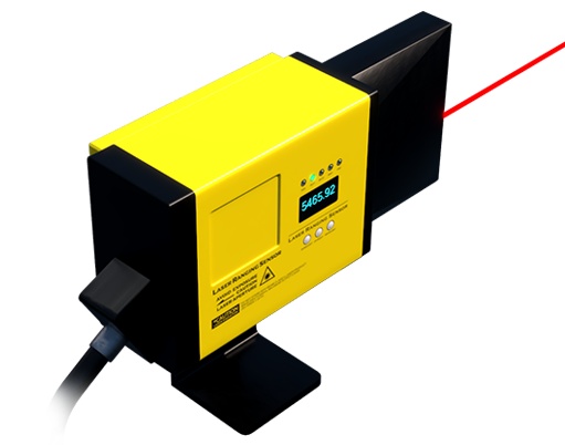
LiDAR, which stands for Light Detection and Ranging, is a remote sensing method that uses light in the form of a pulsed laser to measure variable distances to the Earth. These light pulses—combined with other data recorded by the airborne system—generate precise, three-dimensional information about the shape of the Earth and its surface characteristics. A LiDAR sensor principally consists of a laser, a scanner, and a specialized GPS receiver. Airplanes and helicopters are the most commonly used platforms for acquiring LiDAR data over broad areas.
The fundamental principle behind LiDAR is remarkably straightforward. The sensor emits a rapid succession of laser pulses toward a target. The light travels to the object, reflects off its surface, and returns to the sensor. A highly accurate clock measures the time it takes for each pulse to complete this round trip. Since the speed of light is a known constant, the system can calculate the distance between the sensor and the object with exceptional precision using the simple formula: Distance = (Speed of Light × Time of Flight) / 2. By firing millions of pulses per second and noting the angle of each emission, the sensor builds a dense "point cloud" – a massive collection of individual data points in 3D space, each with known X, Y, and Z coordinates.
There are two primary types of LiDAR systems: topographic and bathymetric. Topographic LiDAR typically uses a near-infrared laser to map land surfaces, terrain, and man-made structures. Bathymetric LiDAR, on the other hand, utilizes water-penetrating green light to measure seafloor and riverbed elevations. Furthermore, LiDAR is categorized by its platform. Airborne LiDAR is mounted on aircraft or drones for large-scale mapping. Terrestrial LiDAR systems are stationary or mobile ground-based units used for scanning buildings, infrastructure, or forensic sites. The advent of solid-state LiDAR, which has no moving mechanical parts, is a significant evolution, enabling more compact, durable, and cost-effective sensors suitable for consumer applications like autonomous vehicles.
The applications of LiDAR sensors are vast and continually expanding. In geography and forestry, it is indispensable for creating high-resolution digital elevation models, monitoring deforestation, and assessing biomass. Autonomous vehicles rely heavily on LiDAR to perceive their environment in real-time, detecting pedestrians, vehicles, and obstacles with high accuracy in various lighting conditions. In archaeology, it reveals hidden cultural features beneath forest canopies. Urban planners use it for 3D city modeling, while engineers employ it for infrastructure inspection and construction site monitoring. The technology also plays a crucial role in agriculture for crop health analysis and yield prediction.
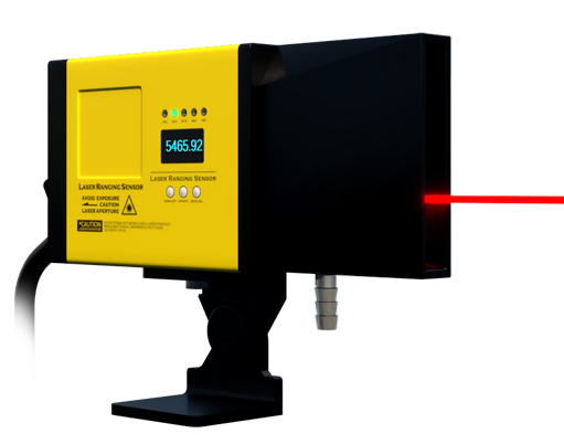
Compared to other sensing technologies like radar or traditional photogrammetry, LiDAR offers distinct advantages. It provides extremely high spatial resolution and vertical accuracy, capable of discerning fine details. It performs well in low-light conditions and can often filter out vegetation to model the bare ground surface. However, challenges remain. Traditional mechanical LiDAR systems can be expensive and bulky. Performance can degrade in heavy rain, fog, or snow, as the laser pulses scatter off atmospheric particles. Processing the enormous datasets generated requires significant computational power and expertise.
Looking ahead, the future of LiDAR is geared towards miniaturization, cost reduction, and enhanced performance. Solid-state and silicon-photonics-based LiDAR are key drivers, promising to make the technology ubiquitous. Advances in artificial intelligence are improving the speed and accuracy of point cloud classification and object recognition. As costs continue to fall, we can expect LiDAR sensors to become integrated into more everyday devices and applications, from robotics and smartphones to augmented reality and advanced driver-assistance systems (ADAS), fundamentally shaping our interaction with the physical and digital worlds.