In the rapidly evolving landscape of autonomous vehicle technology, Light Detection and Ranging (LiDAR) sensors have emerged as a critical component for environmental perception and mapping. Unlike traditional radar or camera systems, LiDAR utilizes pulsed laser light to measure distances with exceptional accuracy, creating high-resolution three-dimensional point cloud maps of the surrounding environment. This capability is fundamental for the safe operation of self-driving cars, enabling real-time object detection, classification, and trajectory prediction.
The core principle of automotive LiDAR mapping involves emitting laser beams and precisely calculating the time-of-flight for the reflected signals. Modern solid-state LiDAR units, which are becoming increasingly prevalent in the automotive industry, employ micro-electromechanical systems (MEMS) or optical phased arrays to steer the laser beams without moving parts. This design enhances durability, reduces size, and allows for faster scanning rates, which are essential for dynamic driving scenarios. The sensor captures millions of data points per second, each representing a precise coordinate in space. Advanced signal processing algorithms then filter noise, compensate for vehicle motion, and stitch together sequential scans to generate a coherent and detailed map.
The engineering challenges in automotive LiDAR sensor mapping are multifaceted. Sensor fusion is a key area, where data from LiDAR is integrated with inputs from complementary sensors like cameras, radar, and ultrasonic sensors. This fusion creates a redundant and robust perception system. For instance, while cameras provide rich color and texture information, they struggle with depth perception and low-light conditions. Radar excels at measuring speed and operates well in adverse weather but offers poor spatial resolution. LiDAR fills these gaps by delivering precise depth information and a 3D structural map, regardless of lighting. However, LiDAR performance can degrade in heavy rain, fog, or snow, as particulate matter scatters the laser pulses. Engineers are developing sophisticated algorithms and multi-wavelength LiDAR systems to mitigate these environmental limitations.
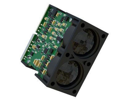
Another critical aspect is the creation and utilization of high-definition (HD) maps. These are not conventional navigation maps but highly detailed, centimeter-accurate digital representations of roadways, including lane markings, curbs, traffic signs, and even subtle road surface features. Automotive-grade LiDAR is instrumental in both constructing and localizing within these maps. During the mapping phase, survey vehicles equipped with high-precision LiDAR and inertial measurement units (IMUs) collect reference data. For the autonomous vehicle in operation, its onboard LiDAR continuously scans the environment and matches the real-time point cloud to the pre-loaded HD map. This process, known as localization, allows the vehicle to determine its exact position within a lane, far beyond the capabilities of standard GPS.
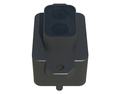
The data throughput and computational requirements are immense. A single LiDAR sensor can generate over 1 GB of data per second. Therefore, the electronic control units (ECUs) in autonomous vehicles require immense processing power and efficient data compression techniques. Edge computing is often employed to perform initial data processing on the sensor itself or on nearby domain controllers to reduce latency—a non-negotiable factor for safety-critical decisions. The industry is also moving towards standardized data formats and communication protocols, such as those defined by the Automotive SerDes Alliance (ASA), to handle the high-speed data streams from multiple sensors efficiently.
Looking ahead, the future of automotive LiDAR mapping is geared towards higher resolution, longer range, lower cost, and greater integration. Innovations like 4D LiDAR, which adds instantaneous velocity measurement for each point, and Frequency-Modulated Continuous-Wave (FMCW) LiDAR, which offers inherent velocity data and better resistance to interference, are on the horizon. As the technology matures and economies of scale take effect, LiDAR is poised to become a standard feature in advanced driver-assistance systems (ADAS) and fully autonomous vehicles, paving the way for safer and more efficient transportation ecosystems. The precision engineering behind these sensors is not just about seeing the world—it's about understanding it in meticulous detail to navigate it autonomously.
