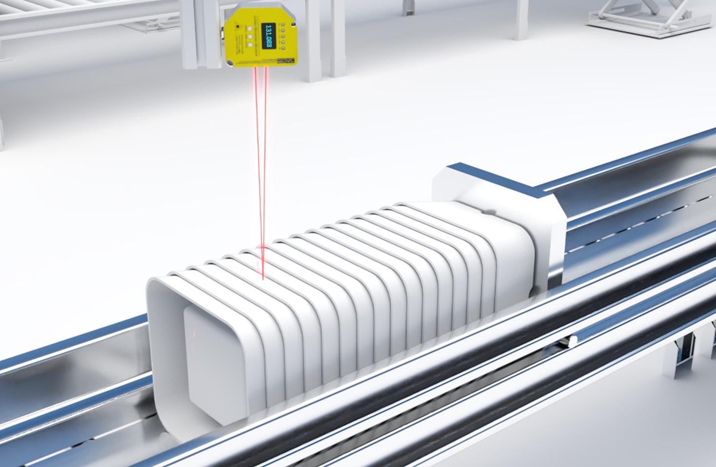
LiDAR (Light Detection and Ranging) sensors have emerged as a cornerstone technology in the development of smart vehicles, enabling unprecedented levels of perception and autonomy. These sensors operate by emitting pulsed laser light and measuring the time it takes for the reflections to return, creating high-resolution, three-dimensional point cloud maps of the surrounding environment. Unlike traditional cameras or radar, LiDAR provides precise depth information and functions effectively in diverse lighting conditions, including low-light or direct sunlight scenarios where camera-based systems may struggle.
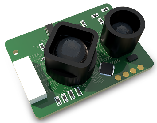
The core architecture of an automotive LiDAR system typically includes a laser emitter, a scanning mechanism (such as rotating mirrors or solid-state phased arrays), a sensitive photodetector, and sophisticated data processing units. Modern advancements are driving the evolution from bulky, mechanically rotating systems to compact, solid-state LiDAR (SSL) solutions. SSL designs eliminate moving parts, enhancing durability, reducing size and cost, and enabling seamless integration into vehicle body panels. This shift is critical for mass-market adoption in consumer vehicles.
In the context of autonomous driving, LiDAR serves as a primary sensor for real-time object detection, classification, and tracking. It accurately identifies pedestrians, cyclists, vehicles, and road infrastructure at ranges exceeding 200 meters. This data is fused with inputs from cameras, radar, and ultrasonic sensors in a process known as sensor fusion. Fusion algorithms create a robust, redundant environmental model, crucial for achieving high levels of driving automation (SAE Levels 3-5). For instance, while a camera can identify a traffic sign's color and shape, LiDAR provides the exact distance, allowing the vehicle's control system to plan braking or steering maneuvers with high precision.
Beyond basic obstacle detection, LiDAR enables sophisticated functionalities. It is instrumental in creating high-definition maps for automated vehicles and in precise localization within those maps. By matching real-time LiDAR scans with a pre-mapped point cloud, a vehicle can determine its position with centimeter-level accuracy, independent of GPS signals. Furthermore, LiDAR aids in free-space detection—identifying navigable areas on complex roads—and in predicting the trajectory of moving objects, which is essential for safe path planning in dynamic urban environments.
The industry continues to address key challenges, primarily focused on cost reduction, increased reliability, and performance standardization. Early LiDAR units were prohibitively expensive for consumer cars, but economies of scale and technological innovations are rapidly lowering prices. Engineers are also working on improving performance in adverse weather conditions, such as heavy rain or fog, though significant progress has been made. Another trend is the development of higher-resolution sensors and advanced perception software that can extract more semantic information from point cloud data.
Looking ahead, the integration of LiDAR will become more pervasive, moving beyond premium autonomous vehicles into advanced driver-assistance systems (ADAS) in mainstream models. Its role will expand to support vehicle-to-everything (V2X) communication systems, enhancing collective situational awareness. As a critical enabler of machine perception, LiDAR technology, coupled with continuous advancements in artificial intelligence and computing power, is fundamentally steering the future trajectory of smart, safe, and fully autonomous transportation.