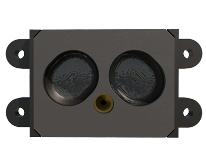
In the field of modern infrastructure and transportation engineering, the application of advanced sensing technologies has become increasingly critical for monitoring, maintenance, and safety. Among these technologies, laser sensors, particularly LiDAR (Light Detection and Ranging) systems, have garnered significant attention due to their precision and versatility. This article explores the feasibility, mechanisms, and practical applications of using laser sensors to measure highways, addressing common questions and highlighting industry trends.
Laser sensors operate by emitting laser beams and measuring the time it takes for the light to reflect off a surface and return to the sensor. This principle, known as time-of-flight, allows for highly accurate distance measurements. When applied to highways, these sensors can capture detailed data on road surfaces, including geometry, texture, and even minor deformations. For instance, LiDAR systems mounted on vehicles or drones can scan extensive stretches of roadway, generating 3D point clouds that reveal elevation changes, cracks, potholes, and wear patterns. This data is invaluable for civil engineers and transportation authorities tasked with ensuring road safety and longevity.
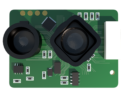
One of the primary advantages of laser sensors in highway measurement is their non-contact nature. Unlike traditional methods that may require physical contact or manual inspection, laser-based systems can operate at high speeds without disrupting traffic flow. This efficiency makes them ideal for large-scale projects, such as national highway networks or urban roadways. Additionally, laser sensors are capable of functioning in various environmental conditions, including low light or nighttime, thanks to their active illumination. However, challenges such as adverse weather (e.g., heavy rain or fog) can affect performance, though advancements in sensor technology are mitigating these issues through enhanced signal processing and filtering techniques.
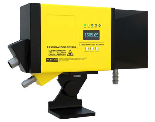
In practical terms, laser sensors are already being deployed for highway applications. For example, they are used in automated road surveying to assess pavement conditions, plan resurfacing projects, and monitor structural integrity over time. By integrating with Geographic Information Systems (GIS) and Building Information Modeling (BIM), the data from laser sensors supports comprehensive infrastructure management. Moreover, in the context of smart cities and autonomous vehicles, laser sensors contribute to real-time traffic monitoring and hazard detection, enhancing overall transportation efficiency.
From an industry perspective, the adoption of laser sensors aligns with trends toward digitalization and sustainability. Accurate measurements help optimize material usage in construction and maintenance, reducing waste and costs. Furthermore, by enabling proactive maintenance through early detection of road defects, these sensors can prevent accidents and extend the lifespan of highways, contributing to safer and more resilient infrastructure.
In conclusion, laser sensors are not only capable of measuring highways but are also transforming how we approach road management. Their precision, speed, and adaptability make them a powerful tool in the electrical and civil engineering sectors. As technology continues to evolve, we can expect even broader applications, from real-time monitoring networks to integrated smart transportation systems. For professionals in the field, staying informed about these advancements is essential for leveraging their full potential in highway engineering projects.