In the realm of industrial automation and machine vision, the ability to perceive the environment without physical contact is paramount. Proximity sensors, long celebrated for their simple on/off detection capabilities, have evolved into sophisticated devices capable of contributing to the generation of complex image data. This process, often termed "proximity imaging" or "distance mapping," is revolutionizing quality control, robotic guidance, and safety systems. Unlike traditional cameras that capture visual light, proximity-based imaging constructs a spatial representation of objects based on their distance and presence.
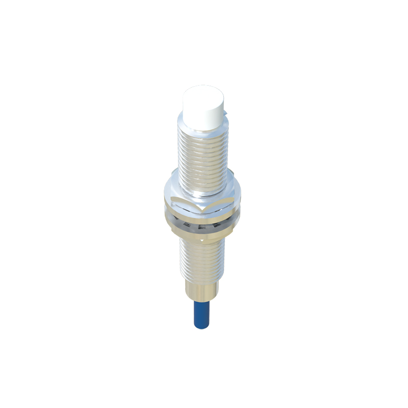
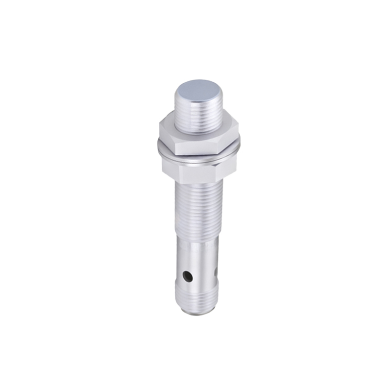
The core principle hinges on translating analog field information into a digital data array. A standard inductive or capacitive proximity sensor provides a single binary output: an object is either within its sensing range or it is not. To form image data, an array of these sensors is deployed. Each sensor acts as a single "pixel" in a low-resolution grid. The output of each sensor—often its analog signal strength or time-of-flight measurement rather than just a binary state—is sampled and converted into a numerical value. This value typically corresponds to the distance to the target or its material characteristics. When these individual data points from the sensor array are compiled and mapped to corresponding coordinates, they form a two-dimensional matrix of distance values. This matrix is the raw image data, a depth map where each point's intensity represents proximity, not color.
For higher-resolution imaging, more advanced sensor technologies are employed. Laser triangulation sensors and time-of-flight (ToF) cameras are prime examples. A single scanning laser triangulation sensor uses a laser point and a receiver to calculate distance with high precision. By scanning this point across a target in a raster pattern, it collects thousands of individual distance measurements per second. Each measurement, with its associated X and Y scan coordinate, populates the data matrix, building a high-resolution 3D profile or "image" of the object's surface contours. Similarly, a ToF camera illuminates the entire scene with modulated infrared light. Each pixel on the camera's specialized sensor independently measures the phase shift or time delay of the reflected light, calculating the distance for that specific point in the field of view. The result is a full-frame, real-time depth image where every pixel contains distance information.
The generated raw data matrix requires significant processing to become actionable image information. Signal filtering is applied to reduce noise from electrical interference or environmental vibrations. Data interpolation algorithms might be used to smooth the image or infer values between sensor points in an array. Calibration against known references is crucial to ensure distance accuracy. Finally, this processed depth map can be used directly or fused with 2D visual data from a conventional camera. In robotic bin picking, for instance, the proximity image data allows the robot to understand the precise height and orientation of parts in a jumbled bin, enabling reliable grasping. In automotive assembly, a line of proximity sensors can create a profile image of a car body to verify panel gap dimensions with sub-millimeter accuracy.
The advantages of using proximity sensors for image data generation are significant. They are inherently robust, functioning reliably in dirty, dusty, or poorly lit environments where optical cameras fail. They provide direct, absolute distance measurements, eliminating the complex calibration and processing needed to extract 3D data from 2D images. Furthermore, they often offer faster response times for critical measurements. However, limitations exist. Resolution is generally lower than that of high-end optical systems, and the "image" is typically monochromatic, representing a single physical property like distance. The effective range can also be constrained compared to some vision systems.
Looking forward, the integration of proximity sensing with artificial intelligence and edge computing is set to deepen. Smart sensors with onboard processing can pre-analyze the generated image data, extracting features like object edges, holes, or height anomalies before sending only relevant information to the central controller. This reduces data bandwidth and enables faster, decentralized decision-making. In conclusion, the generation of image data from proximity sensors represents a powerful convergence of simple sensing principles and advanced data processing. By transforming spatial presence into a mappable data structure, it provides machines with a fundamental layer of spatial understanding, driving efficiency and precision in modern industrial applications.