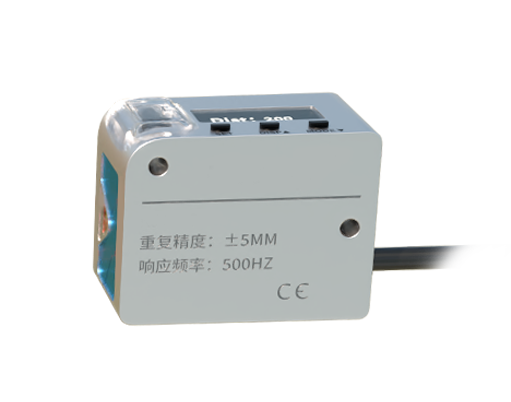
Laser distance sensors, often referred to as laser rangefinders or LiDAR (Light Detection and Ranging) sensors, are widely recognized for their ability to measure distances with high precision. A common question that arises in industrial, surveying, and robotics applications is whether these sensors can measure depth. The answer is nuanced, as it depends on the sensor's design, technology, and application context.
Fundamentally, a laser distance sensor operates by emitting a laser beam toward a target and measuring the time it takes for the light to reflect back to the sensor. This time-of-flight (ToF) principle allows for calculating the distance to the object. In a basic setup, this provides a one-dimensional measurement—simply the linear distance between the sensor and the target. However, depth measurement typically implies understanding variations in distance across a surface or within a volume, which requires multi-dimensional data.
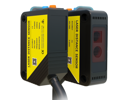
For true depth measurement, such as creating 3D maps or profiling surfaces, single-point laser sensors are insufficient. Instead, advanced systems like 2D or 3D LiDAR are employed. These systems scan the laser beam across multiple points, collecting distance data from various angles to construct a depth map. For example, in autonomous vehicles, rotating LiDAR units emit thousands of laser pulses per second, generating a detailed point cloud that represents the depth and shape of the surrounding environment. Similarly, in industrial inspection, fixed laser profilers can measure the depth of grooves, holes, or surface contours by analyzing the reflected laser pattern.
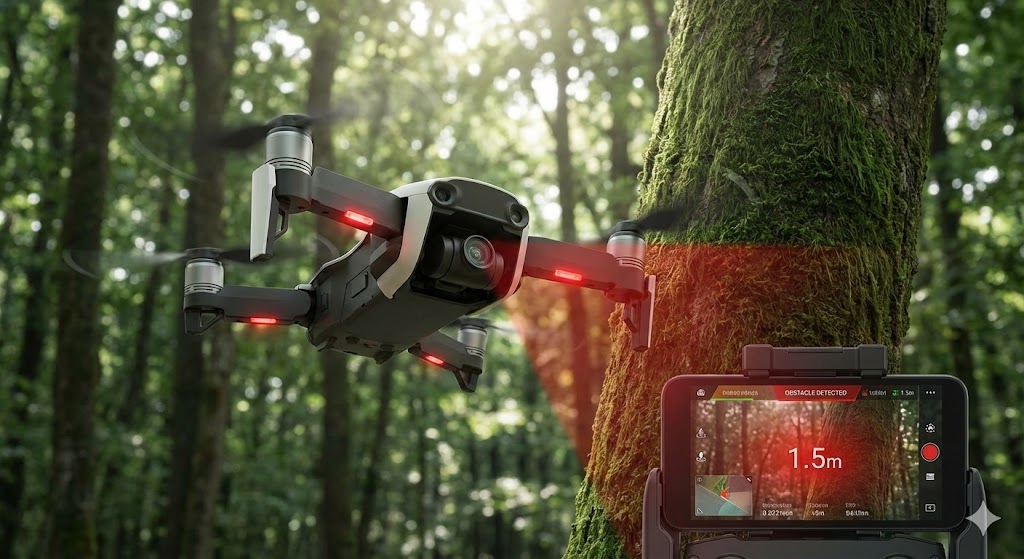
The capability to measure depth also hinges on factors like resolution, accuracy, and environmental conditions. High-resolution sensors with narrow beam divergence can capture fine depth variations, but they may struggle in transparent, reflective, or absorbent materials where laser penetration or reflection is inconsistent. Underwater depth measurement, for instance, is typically not feasible with standard laser sensors due to water's high absorption of light, though specialized blue-green LiDAR can be used in aquatic environments for bathymetry.
In summary, while a basic laser distance sensor provides a single distance value, it does not inherently measure depth in a multi-dimensional sense. By integrating scanning mechanisms, multiple sensors, or advanced data processing, laser-based systems can indeed perform depth measurement for various applications. Understanding the distinction between distance and depth is crucial for selecting the right technology, whether for mapping terrain, inspecting manufacturing parts, or enabling robotic navigation.