In the realm of modern electronics, proximity sensors are the silent, unseen guardians of functionality and user experience. While we interact with their effects daily—screens dimming during calls, automatic faucets activating, or robots avoiding obstacles—few consider the visual data they generate. This guide delves into the world of proximity sensor images, explaining what they represent, how they are used, and why they are crucial for various technologies.
At its core, a proximity sensor detects the presence or absence of nearby objects without physical contact. Common types include infrared (IR), ultrasonic, capacitive, and inductive sensors. The term "proximity sensor image" typically does not refer to a conventional photograph. Instead, it signifies a visual representation of the sensor's data output. This representation can be a simple binary indicator (object present/absent), a distance map, or a more complex point cloud, depending on the sensor's sophistication.
For instance, a basic IR sensor might output a single value corresponding to reflected light intensity. When plotted over time or space, this data can form a one-dimensional "image" or graph showing distance variations. In more advanced systems, like those using LiDAR (Light Detection and Ranging) or time-of-flight (ToF) cameras, the sensor captures an array of distance measurements. This array is then processed to create a depth map or a 3D point cloud image. These images use color or grayscale gradients to represent distance: darker shades might indicate objects farther away, while brighter shades signify closer proximity.
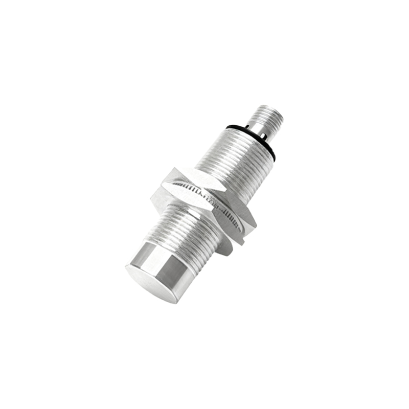
The applications of these data images are vast and growing. In smartphones, the proximity sensor data ensures the touchscreen is disabled when held to the ear, preventing accidental inputs. The system doesn't "see" a picture of your face; it interprets a sudden change in reflected IR light as an "object near" command. In automotive applications, ultrasonic sensors create a spatial map around a vehicle for parking assistance. The visual display on the dashboard is a processed image derived from raw sensor distance data, helping drivers understand their surroundings.
Industrial automation heavily relies on these interpretations. Robotic arms equipped with proximity sensors use depth maps to navigate complex environments, pick objects, and avoid collisions. The operational image here is a critical component of the machine's perception system. Similarly, in smart home devices, capacitive sensors create an invisible field, and their triggered state can be visualized as an activation zone image for system diagnostics.
Creating and interpreting these images requires understanding the sensor's principle. An ultrasonic sensor image is based on sound wave echo times. An inductive sensor image, used for detecting metals, visualizes changes in an electromagnetic field. The key is that these are not optical images but data visualizations translating non-visible phenomena into a comprehensible visual format for analysis, debugging, or user interface purposes.
For developers and engineers, analyzing proximity sensor images is vital for calibration and troubleshooting. A distorted or noisy depth map from a ToF sensor could indicate calibration issues or interference. By visualizing the raw data, engineers can pinpoint problems like limited range, false triggers, or dead zones. This process is essential in refining algorithms for gesture recognition, presence detection, and environmental mapping.
The future points towards higher resolution and fusion. Single-point sensors are giving way to sensor arrays that generate detailed depth images. Furthermore, sensor fusion combines data from proximity sensors with traditional cameras, creating enriched images that contain both visual (RGB) and spatial depth information. This is the backbone of augmented reality (AR), advanced robotics, and autonomous systems, where understanding the precise geometry of the environment is paramount.
In conclusion, proximity sensor images are the bridge between raw electronic signals and actionable intelligence. They transform abstract data into a visual language that machines and humans can use to interact with the physical world more intelligently. From the simple on/off function in a device to the complex 3D modeling for autonomous vehicles, these representations are fundamental to the seamless, intuitive technology we increasingly depend on. Understanding them is key to innovating and optimizing the interactive systems of tomorrow.