In modern precision agriculture, LiDAR (Light Detection and Ranging) sensors have become indispensable tools for orchard management. These sensors provide high-resolution, three-dimensional data that enables growers to monitor tree health, estimate yield, optimize resource use, and automate tasks. Unlike traditional methods, LiDAR offers non-contact, accurate measurements of canopy volume, tree structure, and fruit distribution, even in dense foliage. This technology is particularly valuable for high-value perennial crops like apples, citrus, almonds, and grapes, where detailed structural data directly impacts quality and profitability.
Several LiDAR sensor models are specifically designed or well-suited for orchard environments. Key considerations when selecting a sensor include range, accuracy, scan frequency, durability, and compatibility with mounting platforms such as ground vehicles, tractors, or drones. Here, we explore prominent models and their applications.
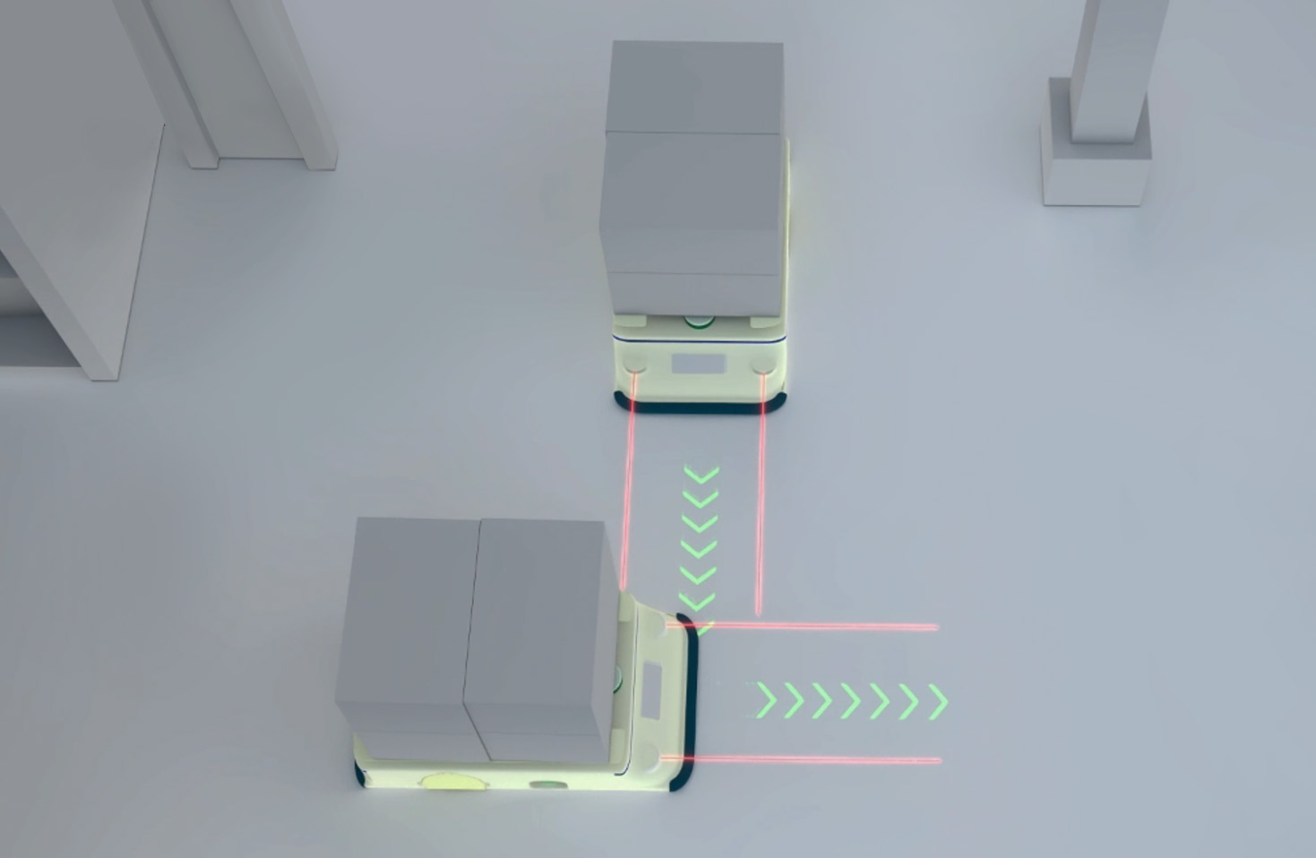
1. Velodyne Puck Series (VLP-16 & VLP-32)
The Velodyne Puck series is widely adopted in agricultural robotics and research. The VLP-16 (16 channels) offers a good balance of performance and cost, with a range of up to 100 meters and a 360-degree horizontal field of view. It is robust enough for vehicle-mounted systems scanning tree rows. The higher-density VLP-32 (32 channels) provides finer point cloud detail, excellent for capturing intricate canopy architecture and detecting individual fruits or branches. These sensors are commonly integrated into autonomous platforms for tasks like canopy scanning and yield mapping.
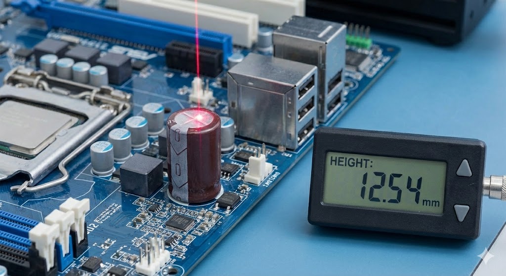
2. Ouster OS Series (e.g., OS1-64)
Ouster sensors are known for their high reliability and digital signal processing. The OS1-64, with 64 channels, delivers rich environmental data with dual returns, which is beneficial for penetrating partial canopy cover. Its compact size and lower power consumption make it ideal for UAV (drone) deployment. Drones equipped with such sensors can rapidly survey large orchards, generating 3D maps for growth monitoring and variable-rate irrigation planning.
3. Hesai Pandar Series (PandarXT-32)
Hesai's PandarXT-32 is a solid-state LiDAR designed for automotive and mapping applications, but its characteristics translate well to agriculture. It offers a 120-degree horizontal field of view, which is sufficient for scanning tree rows from a moving vehicle. Its vibration resistance and IP67 rating ensure durability in dusty, humid orchard conditions. The sensor's accuracy in distance measurement aids in precise trunk detection and spacing analysis.
4. Sick LMS Series (e.g., LMS511)
While often categorized as 2D LiDAR, Sick's LMS series sensors are workhorses for proximity sensing and navigation in orchards. They are frequently used on autonomous tractors or robotic harvesters for row following, obstacle avoidance, and low-height canopy profiling. Their high scan frequency and real-time data output are crucial for dynamic, in-row operations.
5. RIEGL miniVUX Series
For survey-grade mapping from UAVs, RIEGL's miniVUX sensors (e.g., miniVUX-1DL) are top-tier choices. They offer exceptional measurement accuracy and multiple-return capability, enabling the creation of highly detailed digital terrain models (DTMs) and canopy height models (CHMs). This is vital for precision pruning, soil erosion assessment, and long-term growth trend analysis in high-value orchards.
Integration and Data Application
Simply selecting a sensor is not enough. Successful implementation involves integration with GPS/IMU systems for georeferencing and robust data processing pipelines. Software tools like CloudCompare, Pix4D, or custom algorithms convert point clouds into actionable insights: calculating leaf area index, identifying water stress zones, or guiding robotic arms for selective harvesting.
The choice of a LiDAR model ultimately depends on the specific orchard operation, scale, and budget. Ground-based systems favor robust, medium-range sensors like the Velodyne Puck, while aerial mapping demands lightweight, high-accuracy units like the Ouster OS or RIEGL miniVUX. As costs decrease and software improves, LiDAR technology is set to become a standard tool, driving the next wave of efficiency and sustainability in orchard management.