In the realm of precise measurement and spatial data acquisition, laser altimeter sensors, also known as LiDAR (Light Detection and Ranging) altimeters or laser rangefinders, have become indispensable tools. These sophisticated devices emit laser pulses towards a target and measure the time it takes for the light to reflect back. By calculating this time-of-flight and knowing the constant speed of light, they determine distance with remarkable accuracy. This fundamental principle enables the creation of detailed three-dimensional maps and profiles of surfaces, from microscopic industrial components to vast planetary landscapes.
The core technology hinges on the emission of concentrated light. A laser diode generates a coherent, monochromatic beam. This beam is directed through optics and pulsed towards the target. Upon striking the surface, the light scatters, with a small fraction returning to the sensor's receiver. A highly sensitive photodetector, such as an avalanche photodiode, captures this faint return signal. An internal clock, often with picosecond resolution, records the elapsed time between the pulse emission and its detection. The calculated distance is typically half the product of the time delay and the speed of light, accounting for the round trip.
Modern laser altimeters are categorized based on their operational method. Time-of-flight sensors are most common for medium to long ranges. Phase-shift sensors modulate the laser beam's amplitude and measure the phase difference between the emitted and returned wave, offering higher accuracy at shorter distances. For ultimate precision at very close ranges, triangulation sensors use a laser, a receiver lens, and a position-sensitive detector, calculating distance based on the angle of the reflected spot.
The applications of these sensors are extraordinarily diverse, driving innovation across sectors. In topography and forestry, airborne laser scanning systems generate digital elevation models, penetrate forest canopies to measure ground topography, and assess biomass. Autonomous vehicles rely on solid-state LiDAR arrays for real-time 3D environmental perception, identifying obstacles, lane markings, and other vehicles. In industrial automation, laser altimeters guide robots, perform non-contact inspection of parts on assembly lines, and monitor product dimensions for quality control. The aerospace sector uses them for terrain-relative navigation of spacecraft, docking procedures, and even mapping the surfaces of other planets, as seen in missions to Mars and the Moon.
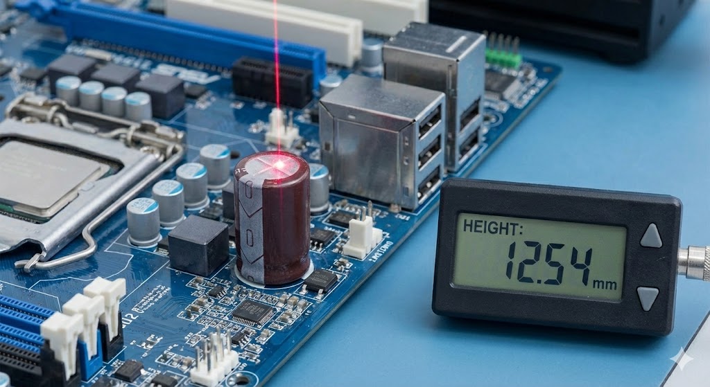
When selecting a laser altimeter for a specific project, several critical parameters must be evaluated. The measurement range defines the minimum and maximum distances the sensor can reliably handle. Accuracy and resolution specify the closeness to the true value and the smallest detectable change in distance, respectively. The repetition rate, or measurement frequency, determines how many data points can be collected per second, which is crucial for scanning moving objects or surfaces. Environmental robustness is key; factors like ambient light immunity, performance in rain or fog, and operational temperature range can dictate suitability for outdoor or harsh industrial use. Finally, the output interface (analog, digital, Ethernet) must integrate seamlessly with the existing data acquisition system.
Despite their advantages, laser altimeters face challenges. Performance can degrade in adverse weather conditions like heavy fog or rain, which scatter the laser beam. Scanning very dark, specular, or absorbent surfaces can result in weak or no return signal. Furthermore, eye safety is a paramount concern, especially for high-powered systems, necessitating adherence to strict laser safety classifications.
The future trajectory of laser altimeter technology points towards greater miniaturization, reduced cost, and enhanced performance. The development of solid-state LiDAR without moving parts promises more robust and compact sensors for mass-market applications like consumer robotics and advanced driver-assistance systems. Increased measurement speeds and the fusion of LiDAR data with other sensors like cameras and radar will create richer, more reliable environmental models. As computational power grows, real-time processing of dense point clouds will become standard, unlocking new possibilities in smart cities, precision agriculture, and beyond.
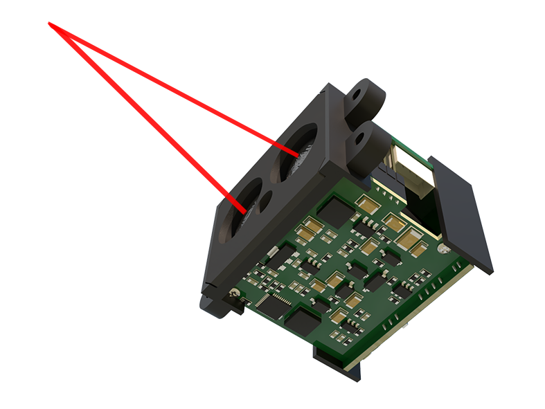
In conclusion, laser altimeter sensors are a transformative technology whose ability to deliver precise, non-contact distance measurements has catalyzed progress in numerous fields. From mapping Earth's changing climate to enabling the next generation of autonomous machines, their role is only set to expand. Understanding their operating principles, varied applications, and selection criteria is essential for engineers, scientists, and technologists aiming to leverage spatial data for innovation and problem-solving.