LiDAR technology has revolutionized how machines perceive their surroundings, and among its various configurations, the 64-line LiDAR sensor stands as a benchmark for high-resolution, long-range environmental mapping. Unlike its lower-line counterparts, this sensor projects 64 individual laser beams vertically, creating a dense point cloud that offers unparalleled detail for object detection, classification, and navigation.
The core principle remains time-of-flight measurement. Each laser diode emits a pulse of light, which reflects off surfaces in the environment. The sensor's receiver detects the returning signal, and an internal processor calculates the distance based on the light's travel time. With 64 channels operating simultaneously, the sensor generates up to 2.2 million points per second, painting a rich, three-dimensional picture of the world in real-time. Key specifications typically include a detection range exceeding 120 meters, a 360-degree horizontal field of view, and a vertical field of view around 26 to 30 degrees. The angular resolution, both horizontal and vertical, is significantly finer than in 16 or 32-line models, allowing it to discern smaller objects at greater distances, such as a tire on the road or debris ahead.
The primary and most prominent application is in autonomous vehicles (AVs). Here, the 64-line LiDAR is often the central perception component. Its dense point cloud enables precise localization within high-definition maps, robust tracking of vehicles, pedestrians, and cyclists, and the critical identification of static obstacles. It performs reliably in diverse lighting conditions, providing a crucial advantage over camera-only systems at night or in blinding sun. Beyond consumer cars, this technology is indispensable for autonomous trucks, robotaxis, and shuttles undergoing rigorous testing and deployment.
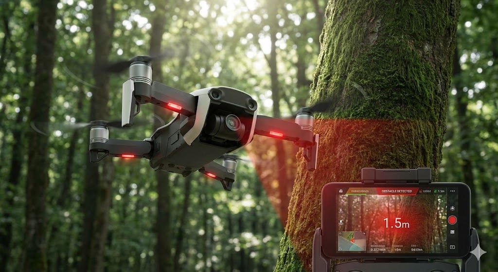
However, its utility extends far beyond public roads. In robotics, advanced mobile robots and automated guided vehicles (AGVs) in complex industrial logistics centers use these sensors for navigation in dynamic, human-shared spaces. The mapping and surveying sector relies on 64-line LiDAR for creating highly accurate digital elevation models, topographic maps, and 3D models of infrastructure like bridges, power lines, and construction sites, often mounted on aircraft or drones for large-area coverage. Emerging applications include smart city infrastructure for traffic monitoring and crowd analysis, and even in security systems for perimeter protection of critical facilities.
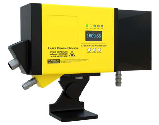
Deploying this technology involves careful consideration. The high data throughput requires substantial onboard processing power and efficient data fusion algorithms to combine LiDAR data with inputs from cameras, radars, and inertial measurement units (IMUs). Calibration is paramount to ensure all 64 lines are aligned correctly, and the sensor must be ruggedized to withstand vibration, temperature fluctuations, and moisture. While costs have decreased, 64-line LiDAR units represent a significant investment, though their performance justifies the expense for safety-critical and high-precision applications.
The future trajectory points towards further miniaturization, increased reliability, and reduced cost. Solid-state LiDAR technologies are advancing rapidly, promising more compact form factors without moving parts. There is also a trend towards higher line counts (128, 300 lines) for even greater resolution, though the 64-line variant will likely remain a vital workhorse, balancing performance, maturity, and cost for the foreseeable future. Its role is cemented as a foundational sensor for building a detailed and reliable machine-understandable model of the physical world, enabling autonomy and precision across countless industries.